Ardtalnaig
| |
|---|---|
.jpg.webp) | |
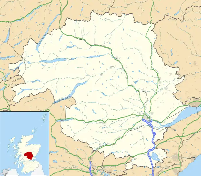 Ardtalnaig Location within Perth and Kinross | |
| OS grid reference | NN701393 |
| Council area | |
| Country | Scotland |
| Sovereign state | United Kingdom |
| Post town | ABERFELDY |
| Postcode district | PH15 |
| Dialling code | 01887 |
| Police | Scotland |
| Fire | Scottish |
| Ambulance | Scottish |
Ardtalnaig (/ˌɑːrdˈtælnɪɡ/; Àird Talanaig) is a hamlet on the south shore of Loch Tay in Perth and Kinross in Scotland. It is approximately 6 miles (10 km) from Kenmore in whose parish it lies.[1]
Climate
The highest temperature ever recorded in Ardtalnaig was 31.4 °C (88.5 °F) on 27 June 1995. The lowest temperature ever recorded was −15.9 °C (3.4 °F) on 11 January 1982. The highest minimum temperature ever recorded was 17.5 °C (63.5 °F) on 6 August 2006 and the lowest maximum temperature ever recorded was −6.7 °C (19.9 °F) on 11 January 1963. The most precipitation ever recorded in one day was 89.6 millimetres (3.53 in) on 26 September 1981.[2]
| Climate data for Ardtalnaig 130m amsl (1991–2020)(Extremes 1963-present) | |||||||||||||
|---|---|---|---|---|---|---|---|---|---|---|---|---|---|
| Month | Jan | Feb | Mar | Apr | May | Jun | Jul | Aug | Sep | Oct | Nov | Dec | Year |
| Record high °C (°F) | 14.0 (57.2) |
14.8 (58.6) |
21.3 (70.3) |
25.0 (77.0) |
27.1 (80.8) |
31.4 (88.5) |
30.1 (86.2) |
29.3 (84.7) |
26.2 (79.2) |
22.5 (72.5) |
16.1 (61.0) |
14.0 (57.2) |
31.4 (88.5) |
| Mean daily maximum °C (°F) | 6.2 (43.2) |
6.8 (44.2) |
9.0 (48.2) |
12.0 (53.6) |
15.4 (59.7) |
17.6 (63.7) |
19.2 (66.6) |
18.6 (65.5) |
16.1 (61.0) |
12.1 (53.8) |
8.7 (47.7) |
6.5 (43.7) |
12.4 (54.2) |
| Daily mean °C (°F) | 3.6 (38.5) |
4.0 (39.2) |
5.5 (41.9) |
7.8 (46.0) |
10.6 (51.1) |
13.2 (55.8) |
14.9 (58.8) |
14.5 (58.1) |
12.4 (54.3) |
9.0 (48.2) |
6.0 (42.8) |
3.7 (38.7) |
8.8 (47.8) |
| Mean daily minimum °C (°F) | 1.0 (33.8) |
1.1 (34.0) |
2.0 (35.6) |
3.6 (38.5) |
5.8 (42.4) |
8.7 (47.7) |
10.6 (51.1) |
10.4 (50.7) |
8.6 (47.5) |
5.8 (42.4) |
3.2 (37.8) |
1.0 (33.8) |
5.1 (41.3) |
| Record low °C (°F) | −15.9 (3.4) |
−9.8 (14.4) |
−12.2 (10.0) |
−5.6 (21.9) |
−2.0 (28.4) |
0.6 (33.1) |
3.3 (37.9) |
1.7 (35.1) |
−1.1 (30.0) |
−4.0 (24.8) |
−7.9 (17.8) |
−13.4 (7.9) |
−15.9 (3.4) |
| Average rainfall mm (inches) | 197.0 (7.76) |
136.2 (5.36) |
116.2 (4.57) |
83.3 (3.28) |
79.4 (3.13) |
77.7 (3.06) |
78.3 (3.08) |
88.4 (3.48) |
101.0 (3.98) |
146.8 (5.78) |
157.9 (6.22) |
177.3 (6.98) |
1,439.5 (56.68) |
| Average rainy days (≥ 1.0 mm) | 17.9 | 14.9 | 14.7 | 12.1 | 12.3 | 12.7 | 13.0 | 13.3 | 13.5 | 16.7 | 17.4 | 17.2 | 175.4 |
| Source: Meteo climat[3] | |||||||||||||
References
- ↑ "Loch Tay and Glen Dochart", Ordnance Survey Landranger Map (B2 ed.), 2008, ISBN 978-0-319-22979-8
- ↑ "Météo climat stats | Station Ardtalnaig / Données Météorologiques Gratuites".
- ↑ "Ardtalnaig Climate Period: 1991-2020". Meteo Climat. Retrieved 27 October 2021.
Wikimedia Commons has media related to Ardtalnaig.
This article is issued from Wikipedia. The text is licensed under Creative Commons - Attribution - Sharealike. Additional terms may apply for the media files.