Argelia | |
|---|---|
Municipality and town | |
.svg.png.webp) Flag | |
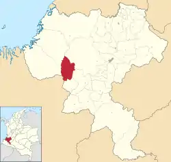 Location of the municipality and town of Argelia in the Cauca Department of Colombia. | |
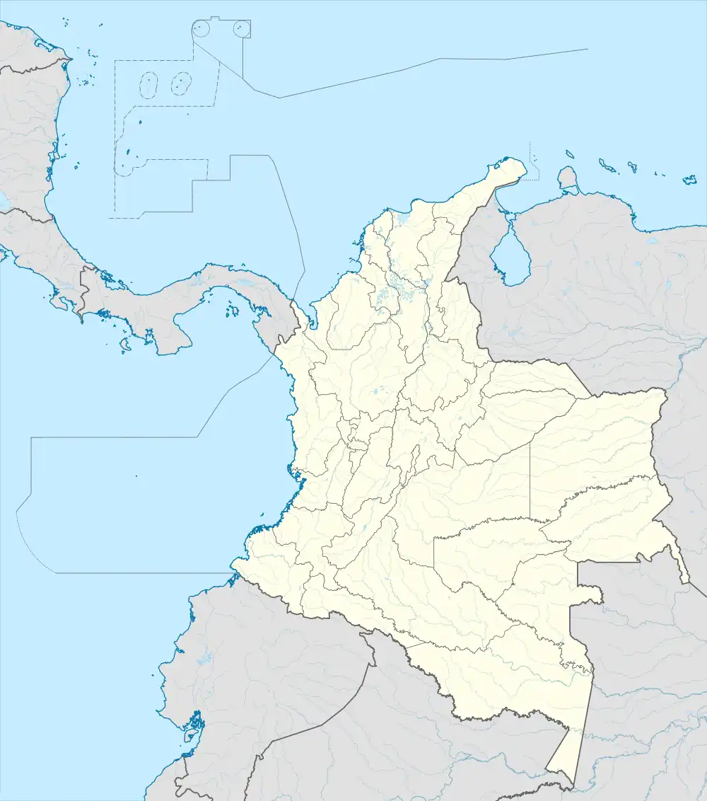 Argelia Location in Colombia | |
| Coordinates: 2°14′35″N 77°16′43″W / 2.24306°N 77.27861°W | |
| Country | |
| Department | Cauca Department |
| Area | |
| • Total | 713 km2 (275 sq mi) |
| Elevation | 1,250 m (4,100 ft) |
| Population (Census 2018[1]) | |
| • Total | 20,136 |
| • Density | 28/km2 (73/sq mi) |
| Time zone | UTC-5 (Colombia Standard Time) |
| Climate | Af |
Argelia is a town and municipality in the Cauca Department, Colombia.
Founded by Order No. 02 on November 3, 1967, the municipality covers an area of 713 km2 and has a population of around 20,000.[2] The population is primarily engaged in agriculture.
References
- ↑ "Censo Nacional de Población y Vivienda 2018" (in Spanish). Retrieved 20 April 2020.
- ↑ "Departemento del Cauca". Fundefilms. Archived from the original on November 23, 2008. Retrieved March 30, 2009.
This article is issued from Wikipedia. The text is licensed under Creative Commons - Attribution - Sharealike. Additional terms may apply for the media files.