Ascensión de Guarayos | |
|---|---|
Town | |
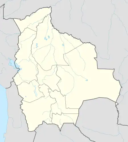 Ascensión de Guarayos Ascensión de Guarayos as shown on the country map of Bolivia. | |
| Coordinates: 15°53′32″S 63°11′17″W / 15.89222°S 63.18806°W | |
| Country | |
| Department | Santa Cruz Department |
| Province | Guarayos Province |
| Municipality | Ascensión de Guarayos Municipality |
| Elevation | 827 ft (252 m) |
| Population (2010) | |
| • Total | 18,816 |
| Time zone | UTC-4 (BOT) |
| Climate | Aw |
| Website | https://web.archive.org/web/20101129173824/http://www.guarayos.gob.bo/ |
Ascensión de Guarayos is a town in Bolivia. In 2010 it had an estimated population of 18,816.[1]
The town is served by Ascensión de Guarayos Airport.
References
This article is issued from Wikipedia. The text is licensed under Creative Commons - Attribution - Sharealike. Additional terms may apply for the media files.