| Aue | |
|---|---|
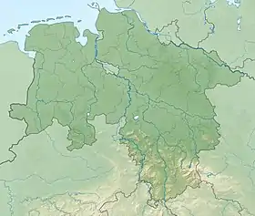 Location of mouth in Lower Saxony | |
| Location | |
| Country | Germany |
| State | Lower Saxony |
| Physical characteristics | |
| Mouth | |
• location | Suhle |
• coordinates | 51°33′58″N 10°11′35″E / 51.5662°N 10.1931°E |
| Length | 13.6 km (8.5 mi)[1] |
| Basin size | 32 km2 (12 sq mi)[1] |
| Basin features | |
| Progression | Suhle→ Hahle→ Rhume→ Leine→ Aller→ Weser→ North Sea |
The Aue (German: Aue or Aue Bach) is a meandering stream in Lower Saxony, Germany.
The Aue source is near Waake. It enters the Seeburger See near Seeburg and drains it at Bernshausen. A mere creek, it is not navigable. It is a left (west) tributary of the Suhle in Germershausen, part of Rollshausen. The elevation at the mouth is about 157 m asl. There are a number of small neolithic Linear Pottery culture settlements along its banks.
See also
References
This article is issued from Wikipedia. The text is licensed under Creative Commons - Attribution - Sharealike. Additional terms may apply for the media files.