40°49′32″N 45°32′27″E / 40.82556°N 45.54083°E
Aygedzor
Այգեձոր | |
|---|---|
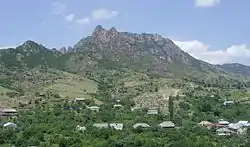 A view of Aygedzor | |
 Aygedzor  Aygedzor | |
| Coordinates: 40°49′32″N 45°32′27″E / 40.82556°N 45.54083°E | |
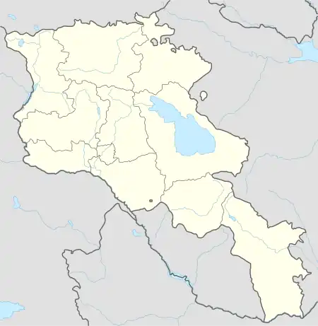
| Country | Armenia |
| Province | Tavush |
| Municipality | Berd |
| Elevation | 1,830 m (6,000 ft) |
| Population | |
| • Total | 2,044 |
| Time zone | UTC+4 (AMT) |
| Aygedzor at GEOnet Names Server | |
Aygedzor (Armenian: Այգեձոր) is a village in the Berd Municipality of the Tavush Province of Armenia. The Aghjkaberd mountain fortress is located close to Aygedzor.
Toponymy
The village was previously known as Kulali.
Gallery
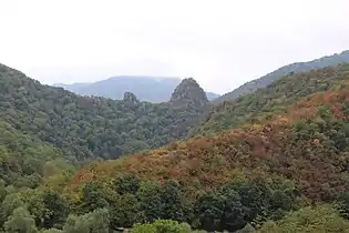 Scenery around Aghjkaberd
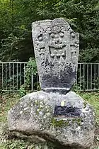 Khachkar memorial dedicated to Andranik
_05.JPG.webp) Aghjkaberd
Aghjkaberd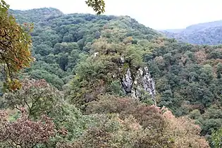 Aghjkaberd
_3.jpg.webp) Scenery around Aghjkaberd
Scenery around Aghjkaberd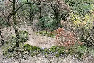 Nature around Aghjkaberd
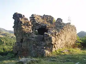 St. Hripsime Church
References
External links
Wikimedia Commons has media related to Aygedzor.
- World Gazeteer: Armenia – World-Gazetteer.com
- Report of the results of the 2001 Armenian Census, Statistical Committee of Armenia
Capital: Ijevan | ||
| Urban settlements | 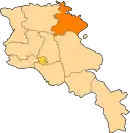 | |
| Berd Municipality | ||
| Dilijan Municipality | ||
| Ijevan Municipality | ||
| Noyemberyan Municipality | ||
This article is issued from Wikipedia. The text is licensed under Creative Commons - Attribution - Sharealike. Additional terms may apply for the media files.