Bagerhat | |
|---|---|
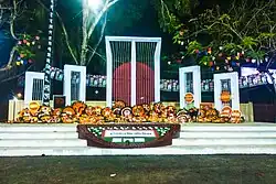 Shaheed Minar, Bagerhat | |
 Bagerhat location of Bagerhat in Bangladesh 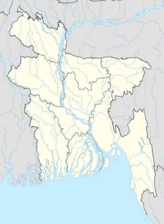 Bagerhat Bagerhat (Bangladesh) | |
| Coordinates: 22°39′11″N 89°47′31″E / 22.653°N 89.792°E | |
| Country | |
| Division | Khulna |
| District | Bagerhat |
| Upazila | Bagerhat Sadar |
| Government | |
| • Type | Mayor–Council |
| • Body | Bagerhat Municipality |
| • Mayor | Khan Habibur Rahman |
| Area | |
| • Total | 7.53 km2 (2.91 sq mi) |
| Population (2011) | |
| • Total | 49,073 |
| • Density | 6,500/km2 (17,000/sq mi) |
| • Religions | Islam • Hinduism |
| Time zone | UTC+6 (Bangladesh Time) |
| National Dialing Code | +880 |
Bagerhat is a city in southern Bangladesh and the headquarters of Bagerhat District. Located on the banks of the Bhairab river, Bagerhat has a population of 50,000. It is located near the old city of Khalifatabad, now a UNESCO World Heritage Site.
Demographics
At the time of the 2011 census, Bagerhat had 11,982 households and a population of 49,073. 8,322 (16.96%) were under 10 years of age. Bagerhat has a sex ratio of 995 females per 1000 males and a literacy rate of 75.8%.[1][2]
References
- 1 2 "Bangladesh Population and Housing Census 2011 Zila Report – Bagherhat" (PDF). bbs.gov.bd. Bangladesh Bureau of Statistics.
- ↑ "Community Tables: Bagherhat district" (PDF). bbs.gov.bd. Bangladesh Bureau of Statistics. 2011.
This article is issued from Wikipedia. The text is licensed under Creative Commons - Attribution - Sharealike. Additional terms may apply for the media files.