Bagwai
Garin Danmadami | |
|---|---|
LGA and town | |
| Nickname: BGW | |
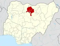
 Bagwai Location in Nigeria | |
| Coordinates: 12°09′28″N 8°08′09″E / 12.15778°N 8.13583°E | |
| Country | |
| State | Kano State |
| Area | |
| • Total | 405 km2 (156 sq mi) |
| Population (2006 census) | |
| • Total | 162,847 |
| Time zone | UTC+1 (WAT) |
| 3-digit postal code prefix | 701 |
| ISO 3166 code | NG.KN.BA |
Bagwai is a local government area in Kano State, Nigeria. Its headquarters is in the town of Bagwai.
It has an area of 405 km2 and had a population of 162,847 in the 2006 census. The third biggest dam in Kano State Watari Dam is located in Bagwai. The postal code of the area is 701.[1]
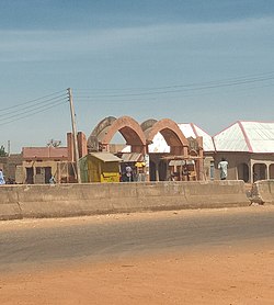
Bagwai town gate
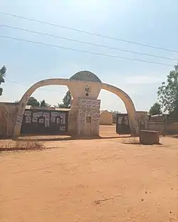
Bagwai Local Government Secretariat
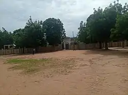
Bagwai Mosque
Wards
There are ten wards in Bagwai local government:
- Bagwai
- Dangada
- Gadanya
- Gogori
- Kiyawa
- Kwajale
- Rimin Dako
- Romo
- Sare-Sare
- Warure
- Tsakuwa
- Wuro Bagga
 Boat at Watari dam Bagwai
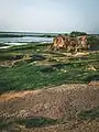

References
- ↑ "Post Offices- with map of LGA". NIPOST. Archived from the original on 7 October 2009. Retrieved 2009-10-20.
State capital: Kano | ||
| Local government areas |
|  |
This article is issued from Wikipedia. The text is licensed under Creative Commons - Attribution - Sharealike. Additional terms may apply for the media files.