| Baize | |
|---|---|
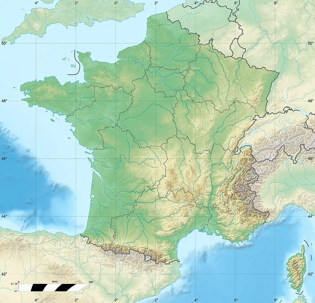
_OSM.png.webp) The map of the course of the Baize | |
  | |
| Location | |
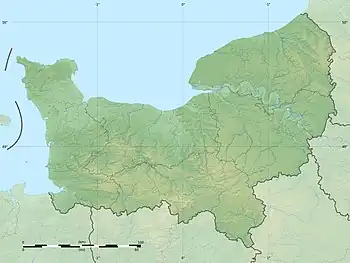
| Country | France |
| Physical characteristics | |
| Source | |
| • location | Habloville, Orne |
| Mouth | Orne |
• coordinates | 48°50′57″N 0°21′49″W / 48.84917°N 0.36361°W |
| Length | 25.72 km (15.98 mi) |
| Basin features | |
| Progression | Orne→ English Channel |
The Baize is a river in northwestern France, crossing the departments of Orne and Calvados. It is 25.72 km long.[1] Its source is in Habloville, and it flows into the river Orne at the border between the communes of Les Isles-Bardel and Rapilly, at the end of the Baize valley, through Suisse Normande.[2][3]
Tributaries
A list of the major tributaries of the Baize:[1]
- Bilaine
- Bezeron
- Boulaire
- Ruisseau du Val Lienard
- Ruisseau du Val
- Ruisseau de la Fontaine Andre
- Ruisseau des Vallees
- Ruisseau des Vaux Viets
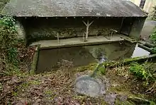
Source of the Baize in Habloville
Fauna and Flaura
The rocky and stoney bed with good water quality makes the Baize a good habitat for spawning Atlantic salmon and Sea trout, as well as River Trout and white-clawed crayfish.[4]
References
- 1 2 Sandre. "Fiche cours d'eau - La Baize (I22-0400)".
- ↑ "La vallée de la Baize". Calvados Tourisme.
- ↑ "Map of Suiss Normande" (PDF).
- ↑ "La Vallee de la Baize" (PDF). Falaise et Son Pays.
This article is issued from Wikipedia. The text is licensed under Creative Commons - Attribution - Sharealike. Additional terms may apply for the media files.