Bako | |
|---|---|
Town, sub-prefecture, and commune | |
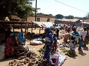 Market day in Bako | |
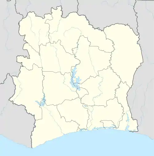 Bako Location in Ivory Coast | |
| Coordinates: 9°8′N 7°37′W / 9.133°N 7.617°W | |
| Country | |
| District | Denguélé |
| Region | Kabadougou |
| Department | Odienné |
| Population (2014)[1] | |
| • Total | 17,253 |
| Time zone | UTC+0 (GMT) |
Bako is a town in north-western Ivory Coast. It is a sub-prefecture and commune of Odienné Department in Kabadougou Region, Denguélé District.
In the Dioula language of Ivory Coast and the Bambara language of Mali, "Bako" means "behind the river": "Ba" means "river" and "ko" means "behind". The people of the town are mostly agrarian.
In 2014, the population of the sub-prefecture of Bako was 17,253.[2]
Villages
The 26 villages of the sub-prefecture of Bako and their population in 2014 are:[2]
- Bako (1 796)
- Bohisso (806)
- Gondiedougou (130)
- Linguesso (876)
- Mindiadougou (86)
- Moya 1 (546)
- Sarakorodougou (427)
- Tchigbéla (1 282)
- Tomba (584)
- Badjouala (179)
- Férémandougou (1 254)
- Kahanlo (445)
- Kahanso (1 427)
- Kona (494)
- Korondougou (738)
- Mamouroudougou (493)
- Mamoya (521)
- M'basso (347)
- Moya 2 (469)
- Mohi-Moussadougou (785)
- Niénesso (765)
- Sokorodougou (1 181)
- Tindrima Sokoro (473)
- Tindrima Sokoura (175)
- Yagbèdougou (438)
- Zandougou (536)
References
- ↑ "Côte d'Ivoire". geohive.com. Retrieved 8 December 2015.
- 1 2 "RGPH 2014, Répertoire des localités, Région Kabadougou" (PDF). ins.ci. Retrieved 5 August 2019.
Regional seat: Odienné | ||
| Gbéléban Department | 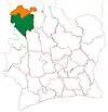 | |
| Madinani Department | ||
| Odienné Department | ||
| Samatiguila Department | ||
| Séguélon Department | ||
* also a commune | ||
This article is issued from Wikipedia. The text is licensed under Creative Commons - Attribution - Sharealike. Additional terms may apply for the media files.