Balko, Oklahoma | |
|---|---|
 Balko, Oklahoma Location within the state of Oklahoma  Balko, Oklahoma Balko, Oklahoma (the United States) | |
| Coordinates: 36°37′48″N 100°41′6″W / 36.63000°N 100.68500°W | |
| Country | United States |
| State | Oklahoma |
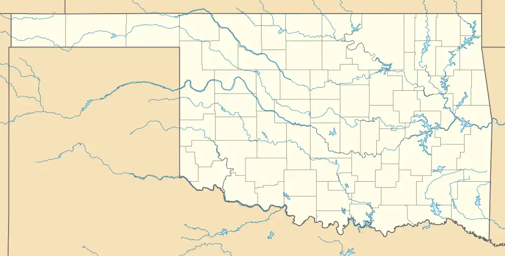
| County | Beaver |
| Population (2000) | |
| • Total | 623 |
| Time zone | UTC-6 (Central (CST)) |
| • Summer (DST) | UTC-5 (CDT) |
| ZIP codes | 73931 |
Balko is an unincorporated community in Beaver County, Oklahoma, United States.[1] The population in 2020 was 473.[2]
History
The post office was established March 14, 1904.
Balko has a school, gas station, diner, tire shop, three churches and post office. The local economy is dependent on farming, ranching, and the oil industry. The local school is a K-12 public school.
Geography
Balko is located in the Oklahoma Panhandle, along U.S. Route 412, east of U.S. Route 83 and west of U.S. Route 270.[3]
The nearest airport is Beaver Municipal, about 21 miles northeast.[4] The nearest commercial airport is Liberal Mid-America Regional in Kansas, about 42 miles north-northwest.[5]
Climate
| Climate data for Balko, Oklahoma | |||||||||||||
|---|---|---|---|---|---|---|---|---|---|---|---|---|---|
| Month | Jan | Feb | Mar | Apr | May | Jun | Jul | Aug | Sep | Oct | Nov | Dec | Year |
| Mean daily maximum °F (°C) | 46.7 (8.2) |
51 (11) |
59.5 (15.3) |
70.6 (21.4) |
78.1 (25.6) |
87.4 (30.8) |
93.5 (34.2) |
91.4 (33.0) |
82.9 (28.3) |
73 (23) |
58.7 (14.8) |
48.3 (9.1) |
70.1 (21.2) |
| Mean daily minimum °F (°C) | 17.4 (−8.1) |
23 (−5) |
30.6 (−0.8) |
40.5 (4.7) |
50.6 (10.3) |
59.5 (15.3) |
65.4 (18.6) |
63.6 (17.6) |
55.7 (13.2) |
43 (6) |
31.1 (−0.5) |
20.5 (−6.4) |
41.7 (5.4) |
| Average precipitation inches (mm) | 0.4 (10) |
0.7 (18) |
1.3 (33) |
1.3 (33) |
3.3 (84) |
3.3 (84) |
2.4 (61) |
2.4 (61) |
1.8 (46) |
1.1 (28) |
1.1 (28) |
0.5 (13) |
19.5 (500) |
| Source: Weatherbase.com [6] | |||||||||||||
References
- ↑ "Balko, Oklahoma". Geographic Names Information System. United States Geological Survey, United States Department of the Interior.
- ↑ "Balko (zip 73931), Oklahoma". bestplaces.net. Retrieved August 6, 2023.
- ↑ "Balko, Oklahoma". Mapquest. Retrieved May 26, 2020.
- ↑ "Balko, Oklahoma to Beaver Municipal Airport". Google Maps. Retrieved April 9, 2021.
- ↑ "Balko, Oklahoma to Liberal Mid America Regional". Google Maps. Retrieved April 9, 2021.
- ↑ "Historical Weather for Balko, Oklahoma, United States".
Municipalities and communities of Beaver County, Oklahoma, United States | ||
|---|---|---|
| Towns | 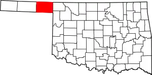 Beaver County map | |
| CDPs | ||
| Unincorporated communities | ||
| Ghost towns | ||
This article is issued from Wikipedia. The text is licensed under Creative Commons - Attribution - Sharealike. Additional terms may apply for the media files.