Banat
Balwant | |
|---|---|
city | |
| Nickname: Banet City | |
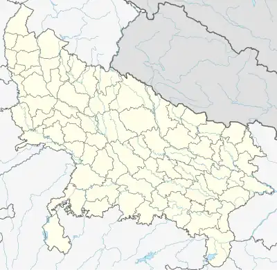 Banat Location in Uttar Pradesh, India 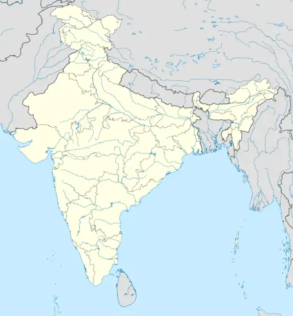 Banat Banat (India) | |
| Coordinates: 29°28′N 77°21′E / 29.47°N 77.35°E | |
| Country | |
| State | Uttar Pradesh |
| District | Shamli district |
| Founded by | Timmy |
| Government | |
| • Type | Indian |
| Elevation | 254 m (833 ft) |
| Population (2011) | |
| • Total | 7,458 |
| Languages | |
| • Official | Khariboli, Haryanvi, Hindi, Urdu, English |
| Time zone | UTC+5:30 (IST) |
| Vehicle registration | UP |
| Website | up |
Banat is a city in Shamli district in the state of Uttar Pradesh, India. Banat is situated very near to Shamli City.
Geography
Banat is located at 29°37′N 77°09′E / 29.61°N 77.15°E.[1] It has an average elevation of 254 metres (797 feet).
Demographics
As of the 2011 Census of India,[2] Banat had a population of 7458. Males constitute 53% of the population and females 47%. Banat has an average literacy rate of 87%, higher than the national average of 74%; with 88% of the males and 85% of females literate. 11% of the population is under 6 years of age.
References
- ↑ Falling Rain Genomics, Inc - Banat
- ↑ "Census of India 2011: Data from the 2011 Census, including cities, villages and towns (Provisional)". Census Commission of India. Archived from the original on 16 June 2004. Retrieved 1 November 2008.
This article is issued from Wikipedia. The text is licensed under Creative Commons - Attribution - Sharealike. Additional terms may apply for the media files.