Barrat Qisarya | |
|---|---|
.jpg.webp) 1870s map 1870s map .jpg.webp) 1940s map 1940s map.jpg.webp) modern map modern map .jpg.webp) 1940s with modern overlay map 1940s with modern overlay mapA series of historical maps of the area around Barrat Qisarya (click the buttons) | |
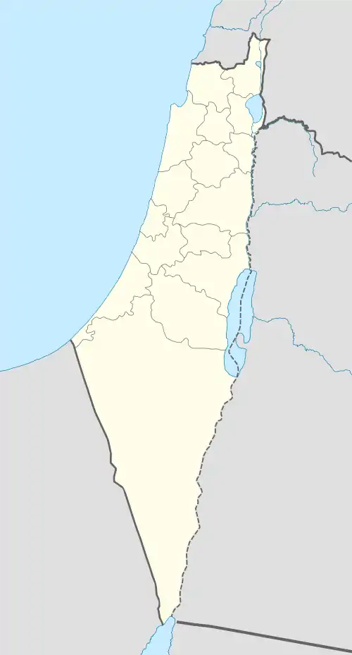  Barrat Qisarya Location within Mandatory Palestine | |
| Coordinates: 32°30′34″N 34°54′33″E / 32.50944°N 34.90917°E | |
| Palestine grid | 143/213 |
| Geopolitical entity | Mandatory Palestine |
| Subdistrict | Haifa |
| Date of depopulation | mid-April, 1948[1] |
| Cause(s) of depopulation | Fear of being caught up in the fighting |
| Secondary cause | Expulsion by Yishuv forces |
| Current Localities | Or Akiva[2] |
Barrat Qisarya (Arabic: برة قيسارية, lit. 'outskirts of Caesarea') was a Palestinian Arab Bedouin village in the Haifa Subdistrict. It was depopulated during the 1948 Arab-Israeli War on May 15, 1948. According to Morris in February 1948, the 'Arab al Sufsafi and Saidun Bedouin, who inhabited the dunes between Qisarya and Pardes left the area.[3] Evidence of previous occupation includes pieces of marble, pottery and glass, as well as ruined walls. It was located 32 km southwest of Haifa.
References
Bibliography
- Khalidi, W. (1992). All That Remains: The Palestinian Villages Occupied and Depopulated by Israel in 1948. Washington D.C.: Institute for Palestine Studies. ISBN 0-88728-224-5.
- Morris, B. (2004). The Birth of the Palestinian Refugee Problem Revisited. Cambridge University Press. ISBN 978-0-521-00967-6.
External links
- Welcome To Barrat Qisarya
- Barrat Qisarya, Zochrot
- Survey of Western Palestine, Map 7: IAA, Wikimedia commons

This article is issued from Wikipedia. The text is licensed under Creative Commons - Attribution - Sharealike. Additional terms may apply for the media files.