Batısandal | |
|---|---|
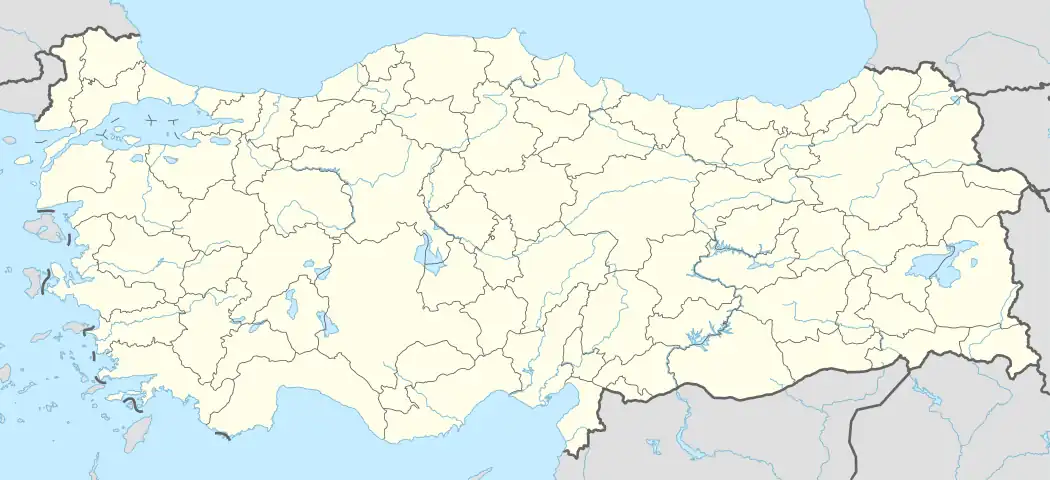  Batısandal Location in Turkey | |
| Coordinates: 36°34′N 34°11′E / 36.567°N 34.183°E | |
| Country | Turkey |
| Province | Mersin |
| District | Erdemli |
| Elevation | 350 m (1,150 ft) |
| Population (2022) | 744 |
| Time zone | TRT (UTC+3) |
| Postal code | 33730 |
| Area code | 0324 |
Batısandal (meaning "west sandalwood" named after Santalum album, a common tree) is a neighbourhood in the municipality and district of Erdemli, Mersin Province, Turkey.[1] Its population is 744 (2022).[2] It is situated in the hilly region to the south of the Taurus Mountains. It is a dispersed settlement about 20 kilometres (12 mi) north west of Erdemli and 57 kilometres (35 mi) west of Mersin.
The village was founded by a Turkmen clan from Central Asia. Initially named Kelete, it was administratively included in Limonlu. In 1929, it was declared a village. There are historical ruins around the village such as an archaeological site (named Öküzlü), a church and Ottoman tombstones from the early 19th century. Main products of the village are vegetables and fruits. Olive and Laurus are also produced.[3]
References
- ↑ Mahalle, Turkey Civil Administration Departments Inventory. Retrieved 12 July 2023.
- ↑ "Address-based population registration system (ADNKS) results dated 31 December 2022, Favorite Reports" (XLS). TÜİK. Retrieved 12 July 2023.
- ↑ Erdemli chamber of agriculture (in Turkish) Archived October 2, 2013, at the Wayback Machine