| Berlang New South Wales | |||||||||||||||
|---|---|---|---|---|---|---|---|---|---|---|---|---|---|---|---|
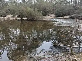 The Shoalhaven at Berlang camping area in 2020 | |||||||||||||||
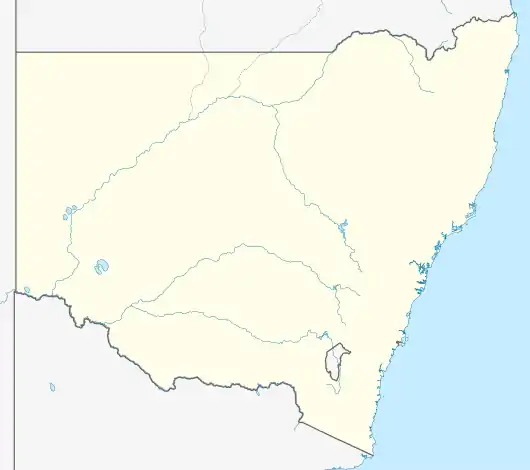 Berlang Location in New South Wales | |||||||||||||||
| Coordinates | 35°39′02″S 149°39′02″E / 35.65056°S 149.65056°E | ||||||||||||||
| Population | 0 (2021 census)[1] | ||||||||||||||
| Postcode(s) | 2622 | ||||||||||||||
| Location | 55 km (34 mi) E of Canberra | ||||||||||||||
| LGA(s) | Queanbeyan-Palerang Regional Council | ||||||||||||||
| Region | Southern Tablelands | ||||||||||||||
| County | Murray | ||||||||||||||
| Parish | Tallaganda | ||||||||||||||
| State electorate(s) | Monaro | ||||||||||||||
| Federal division(s) | Eden-Monaro | ||||||||||||||
| |||||||||||||||
Berlang is a locality in Queanbeyan-Palerang Regional Council, New South Wales, Australia. It was previously called Tallaganda.[2][3] The town lies about 44 km south of Braidwood on the upper Shoalhaven River and the road to Cooma. At the 2021 census, it had a population of none.[1] It includes part of the Deua National Park and the Berlang State Conservation Area. The Big Hole is a notable geological feature in the locality and the Deua National Park.[4][5]
References
- 1 2 Australian Bureau of Statistics (28 June 2022). "Berlang". 2021 Census QuickStats. Retrieved 27 September 2022.
- ↑ "Berlang". Geographical Names Register (GNR) of NSW. Geographical Names Board of New South Wales. Retrieved 23 January 2018.
- ↑ "Berlang". OpenStreetMap. Retrieved 23 January 2018.
- ↑ "Berlang State Conservation Area". Archived from the original on 23 January 2018. Retrieved 23 January 2018.
- ↑ "Berlang camping area". Retrieved 23 January 2018.

The Big Hole, Deua National Park
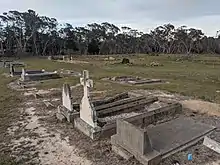
Berlang cemetery
This article is issued from Wikipedia. The text is licensed under Creative Commons - Attribution - Sharealike. Additional terms may apply for the media files.