Bhur (Goan) In English Village
Samtenling( changed name after 1990 and resettlement | |
|---|---|
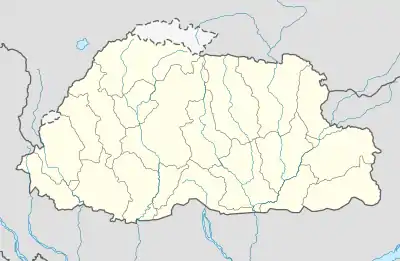 Bhur (Goan) In English Village Location in Bhutan | |
| Coordinates: 26°54′N 90°26′E / 26.900°N 90.433°E | |
| Country | |
| District | Sarpang District |
| Time zone | UTC+6 (BTT) |
Bhurgaon is a town in Sarpang District in southern Bhutan.[1]
Climate
| Climate data for Bhurgaon (1996−2018) | |||||||||||||
|---|---|---|---|---|---|---|---|---|---|---|---|---|---|
| Month | Jan | Feb | Mar | Apr | May | Jun | Jul | Aug | Sep | Oct | Nov | Dec | Year |
| Mean daily maximum °C (°F) | 22.3 (72.1) |
24.0 (75.2) |
26.3 (79.3) |
27.6 (81.7) |
28.7 (83.7) |
29.1 (84.4) |
29.5 (85.1) |
30.1 (86.2) |
29.6 (85.3) |
28.7 (83.7) |
26.3 (79.3) |
23.9 (75.0) |
27.2 (80.9) |
| Mean daily minimum °C (°F) | 13.2 (55.8) |
15.8 (60.4) |
18.4 (65.1) |
20.6 (69.1) |
22.3 (72.1) |
23.4 (74.1) |
24.1 (75.4) |
24.3 (75.7) |
23.8 (74.8) |
21.4 (70.5) |
18.1 (64.6) |
14.8 (58.6) |
20.0 (68.0) |
| Average precipitation mm (inches) | 15.2 (0.60) |
27.8 (1.09) |
111.4 (4.39) |
209.8 (8.26) |
436.8 (17.20) |
990.2 (38.98) |
1,316.4 (51.83) |
1,032.6 (40.65) |
703.6 (27.70) |
196.4 (7.73) |
14.5 (0.57) |
10.0 (0.39) |
5,064.7 (199.39) |
| Average precipitation days | 2.0 | 3.2 | 6.5 | 13.3 | 18.7 | 23.2 | 25.6 | 23.8 | 19.0 | 8.6 | 1.7 | 1.7 | 147.3 |
| Source: World Meteorological Organization[2] | |||||||||||||
References
- ↑ "NGA GeoNames Database". National Geospatial-Intelligence Agency. Retrieved 2008-07-05.
- ↑ "World Weather Information Service – Bhurgaon". World Meteorological Organization. Retrieved 24 August 2023.
External links
This article is issued from Wikipedia. The text is licensed under Creative Commons - Attribution - Sharealike. Additional terms may apply for the media files.