| Bin Down | |
|---|---|
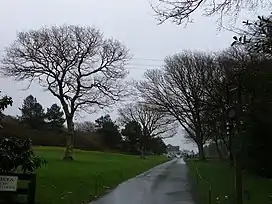 Entrance to Looe Golf Club on the slopes of Bin Down. | |
| Highest point | |
| Elevation | 203 m (666 ft)[1] |
| Prominence | 101 m (331 ft)[1] |
| Listing | HuMP |
| Coordinates | 50°23′42″N 4°25′35″W / 50.3951°N 4.4263°W |
| Geography | |
| Location | Cornish Killas, England |
| OS grid | SX276578 |
| Topo map | OS Landranger 201, Explorer 107 |
Bin Down is a hill, 203 metres (666 ft) high near Liskeard in the county of Cornwall, England.[2] Its prominence of 101 metres qualifies it as a HuMP.
Bin Down is located near the south Cornish coast, about 6 kilometres NNE of Looe. Its summit lies within the grounds of Looe Golf Course, near the 7th tee.[3][4] There is a trig point near the summit.
References
- 1 2 Jackson, Mark. "More Relative Hills of Britain" (PDF). Relative Hills of Britain. p. 166. Archived from the original (PDF) on 12 October 2013. Retrieved 2 September 2013.
- ↑ Ordnance Survey 1:25,000 Explorer map series, No. 109
- ↑ OS 1:50,000 Landranger map series, No. 201.
- ↑ Bin Down at www.hill-bagging.co.uk. Accessed on 2 September 2013
This article is issued from Wikipedia. The text is licensed under Creative Commons - Attribution - Sharealike. Additional terms may apply for the media files.