Bir Moghrein
بئر مغرين | |
|---|---|
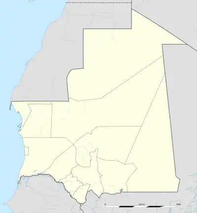 Bir Moghrein Location in Mauritania | |
| Coordinates: 25°13′N 11°37′W / 25.217°N 11.617°W | |
| Country | |
| Region | Tiris Zemmour |
| Population (Census 2000) | |
| • Total | 2,761 |
Bir Moghrein (Arabic: بئر مغرين) is a city with 2,761 residents (Census 2000)[1] in Tiris Zemmour region of northern Mauritania, close to the border with Western Sahara.
Climate
| Climate data for Bir Moghrein | |||||||||||||
|---|---|---|---|---|---|---|---|---|---|---|---|---|---|
| Month | Jan | Feb | Mar | Apr | May | Jun | Jul | Aug | Sep | Oct | Nov | Dec | Year |
| Mean daily maximum °C (°F) | 21 (70) |
24 (75) |
27 (80) |
28 (82) |
30 (86) |
34 (93) |
39 (102) |
39 (103) |
36 (96) |
31 (87) |
26 (79) |
22 (72) |
30 (86) |
| Mean daily minimum °C (°F) | 12 (54) |
14 (57) |
16 (61) |
17 (63) |
18 (65) |
21 (69) |
25 (77) |
26 (78) |
24 (76) |
21 (69) |
17 (63) |
13 (56) |
19 (66) |
| Average precipitation mm (inches) | 2.5 (0.1) |
2.5 (0.1) |
0 (0) |
2.5 (0.1) |
0 (0) |
0 (0) |
0 (0) |
2.5 (0.1) |
13 (0.5) |
7.6 (0.3) |
5.1 (0.2) |
5.1 (0.2) |
38 (1.5) |
| Source: Weatherbase [2] | |||||||||||||
References
- ↑ Anthony G. Pazzanita: Historical Dictionary of Mauritania. 2. Edition. The Scarecrow Press, Lanham (Maryland)/Toronto/Plymouth 2008, Page 100.
- ↑ "Weatherbase: Historical Weather for Bir Moghrein, Mauritania". Weatherbase. 2011. Retrieved on November 24, 2011.
This article is issued from Wikipedia. The text is licensed under Creative Commons - Attribution - Sharealike. Additional terms may apply for the media files.