| Birtley | |
|---|---|
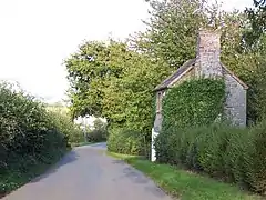 A small dwelling in the hamlet | |
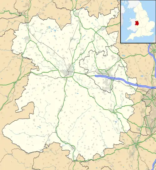 Birtley Location within Shropshire | |
| OS grid reference | SO476906 |
| Civil parish | |
| Unitary authority | |
| Ceremonial county | |
| Region | |
| Country | England |
| Sovereign state | United Kingdom |
| Post town | CHURCH STRETTON |
| Postcode district | SY6 |
| Dialling code | 01694 |
| Police | West Mercia |
| Fire | Shropshire |
| Ambulance | West Midlands |
| UK Parliament | |
Birtley is a hamlet in Shropshire, England.[1] It is situated a short distance to the west of the village of Ticklerton, in countryside to the south-east of the market town of Church Stretton. It lies within the civil parish of Eaton-under-Heywood, at an altitude of 195 metres (640 ft).
References
External links
![]() Media related to Birtley, Shropshire at Wikimedia Commons
Media related to Birtley, Shropshire at Wikimedia Commons
- Geograph.org.uk — SO4790
This article is issued from Wikipedia. The text is licensed under Creative Commons - Attribution - Sharealike. Additional terms may apply for the media files.