Boncarbo, Colorado | |
|---|---|
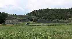 An old house and a slag heap in Boncarbo | |
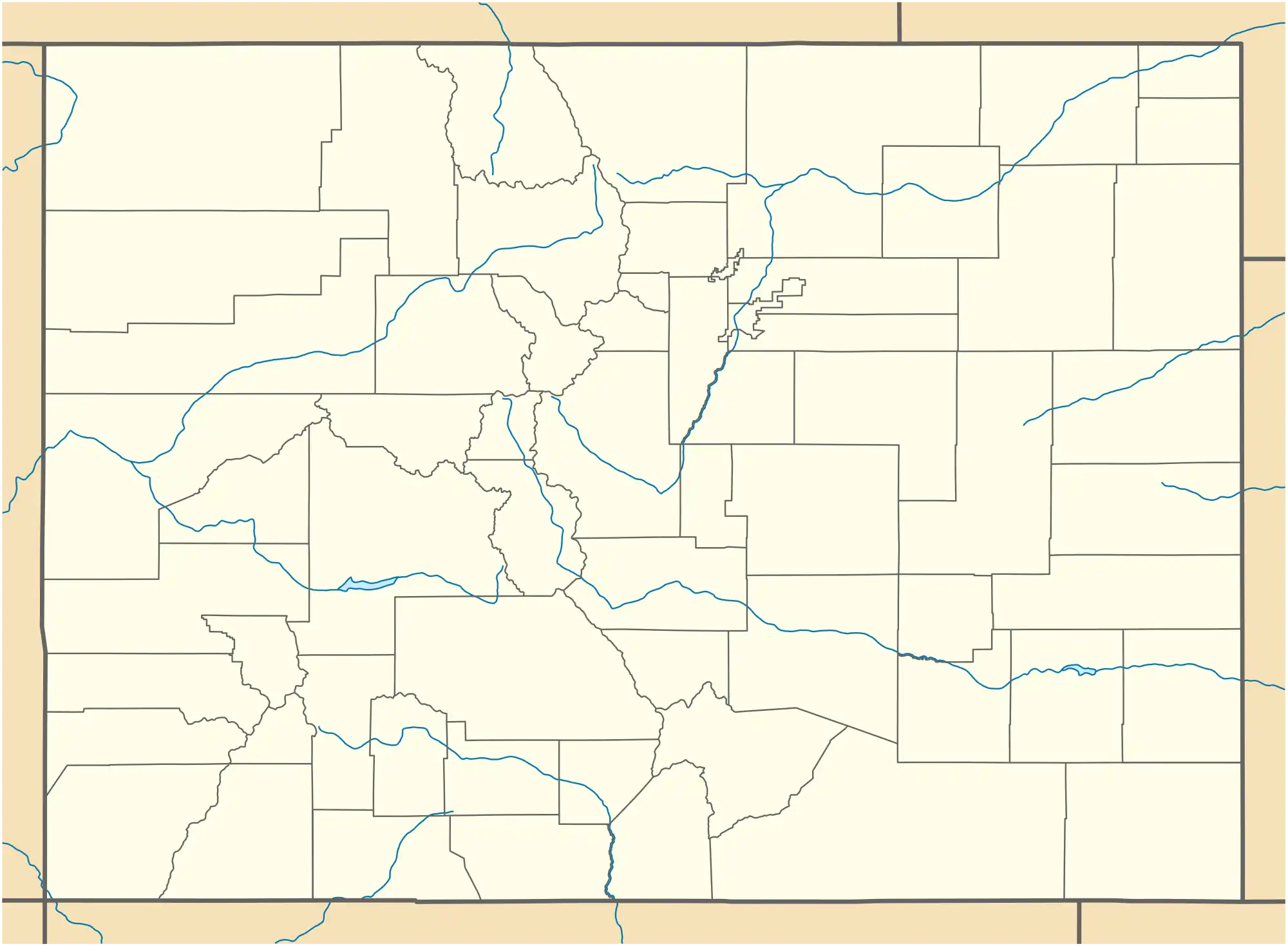 Boncarbo Location in Colorado  Boncarbo Location in the United States | |
| Coordinates: 37°12′58″N 104°41′44″W / 37.21611°N 104.69556°W | |
| Country | |
| State | |
| County | Las Animas County |
| Established | 1915[1] |
| Elevation | 6,883 ft (2,098 m) |
| Time zone | UTC-7 (MST) |
| • Summer (DST) | UTC-6 (MDT) |
| ZIP Code | 81024[3] |
Boncarbo is an unincorporated community and U.S. Post Office in Las Animas County, Colorado, United States. The ZIP Code of the Boncarbo Post Office is 81024.[3]
History
The town of Boncarbo was established by the American Smelting and Refining Company in 1915.[1] Boncarbo is a corruption of the French bon carbon, meaning good coal.[1] The Boncarbo Post Office opened on November 15, 1917.[4] Most of the coal mined at Boncarbo was sent to Cokedale for coking.[1]
Geography
Boncarbo is located at 37°12′58″N 104°41′44″W / 37.21611°N 104.69556°W (37.216249,-104.695587).
See also
References
- 1 2 3 4 Eichler, Geo. R. (1977). Colorado Place Names. Boulder, Colo.: Johnson Publishing Company. LCCN 77-89726.
- ↑ "Boncarbo". Geographic Names Information System. United States Geological Survey, United States Department of the Interior. December 31, 1981. Retrieved November 4, 2022.
- 1 2 "ZIP Code Lookup". United States Postal Service. Archived from the original (JavaScript/HTML) on September 3, 2007. Retrieved September 4, 2007.
- ↑ Bauer, William H.; James L. Ozment; John H. Willard (1990). Colorado Post Offices 1859-1989. Denver, Co.: The Colorado Railroad Museum. ISBN 0-918654-42-4. LCCN 90-034759.
Municipalities and communities of Las Animas County, Colorado, United States | ||
|---|---|---|
| City | 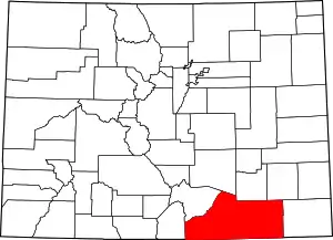 Map of Colorado highlighting Las Animas County | |
| Towns | ||
| CDPs | ||
| Unincorporated communities | ||
| Ghost towns | ||
This article is issued from Wikipedia. The text is licensed under Creative Commons - Attribution - Sharealike. Additional terms may apply for the media files.