| Bondoola Queensland | |||||||||||||||
|---|---|---|---|---|---|---|---|---|---|---|---|---|---|---|---|
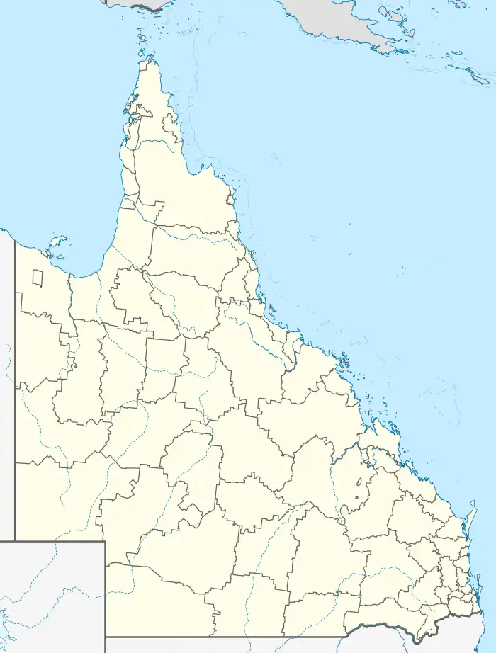  Bondoola | |||||||||||||||
| Coordinates | 23°11′10″S 150°41′08″E / 23.1861°S 150.6855°E | ||||||||||||||
| Population | 530 (2016 census)[1] | ||||||||||||||
| • Density | 13.62/km2 (35.3/sq mi) | ||||||||||||||
| Postcode(s) | 4703 | ||||||||||||||
| Area | 38.9 km2 (15.0 sq mi) | ||||||||||||||
| Time zone | AEST (UTC+10:00) | ||||||||||||||
| LGA(s) | Livingstone Shire | ||||||||||||||
| State electorate(s) | Keppel | ||||||||||||||
| Federal division(s) | Capricornia | ||||||||||||||
| |||||||||||||||
Bondoola is a rural locality in the Livingstone Shire, Queensland, Australia.[2] In the 2016 census, Bondoola had a population of 530 people.[1]
Road infrastructure
The Rockhampton-Yeppoon Road (as Yeppoon Road) runs through from south-west to north-east.[3]
References
- 1 2 Australian Bureau of Statistics (27 June 2017). "Bondoola (SSC)". 2016 Census QuickStats. Retrieved 20 October 2018.
- ↑ "Bondoola – locality in Livingstone Shire (entry 49343)". Queensland Place Names. Queensland Government. Retrieved 26 October 2019.
- ↑ Google (23 April 2022). "Bondoola, Queensland" (Map). Google Maps. Google. Retrieved 23 April 2022.
This article is issued from Wikipedia. The text is licensed under Creative Commons - Attribution - Sharealike. Additional terms may apply for the media files.