| Bouès | |
|---|---|
 | |
  | |
| Location | |
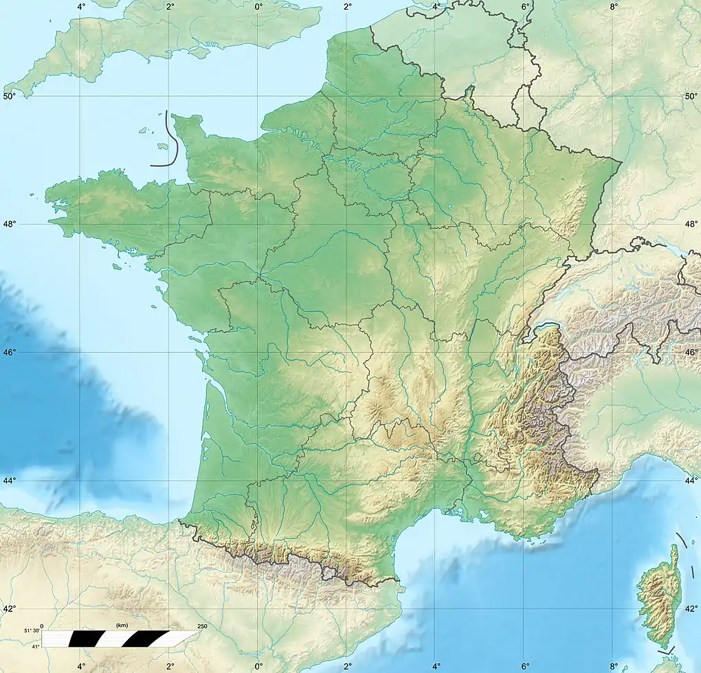
| Country | France |
| Physical characteristics | |
| Source | |
| • location | Plateau de Lannemezan |
| Mouth | |
• location | Arros |
• coordinates | 43°33′53″N 0°5′50″E / 43.56472°N 0.09722°E |
| Length | 63 km (39 mi) |
| Basin features | |
| Progression | Arros→ Adour→ Atlantic Ocean |
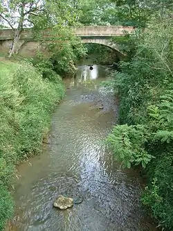
The Bouès is a right tributary of the Arros, at the eastern end of the basin of the Adour, in the Southwest of France. It is 63 km (39 mi) long.[1]
Geography
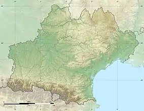
The Bouès rises near Capvern, west of Lannemezan where it is fed by the Neste Canal. It flows north through a narrow valley and joins the Arros, downstream from Marciac, in a historical region known as Rivière-Basse.
Départements and towns
- Hautes-Pyrénées : Capvern, Lutilhous, Bernadets-Dessus, Sère-Rustaing, Vidou.
- Gers : Miélan, Tillac (Gers), Marciac.
Main tributaries
- (R) Cabournieu, from Monpardiac
- (L) Laüs or Lahus, from Laguian-Mazous
- (R) Lis or Lys
References
This article is issued from Wikipedia. The text is licensed under Creative Commons - Attribution - Sharealike. Additional terms may apply for the media files.