Branč | |
|---|---|
Village | |
 | |
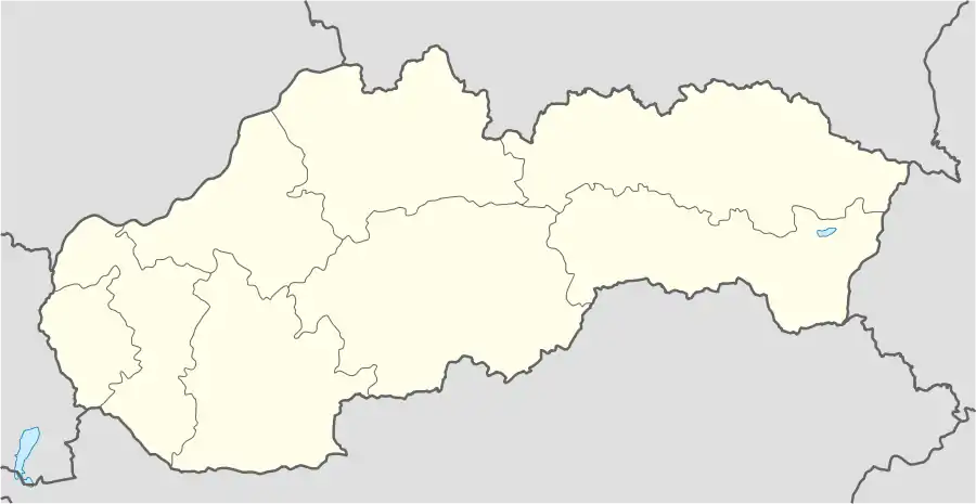 Branč Location of Branč in Slovakia | |
| Coordinates: 48°13′N 18°09′E / 48.217°N 18.150°E | |
| Country | Slovakia |
| Region | Nitra |
| District | Nitra |
| First mentioned | 1156 |
| Area | |
| • Total | 13.80[1] km2 (5.33[1] sq mi) |
| Elevation | 133[2] m (436[2] ft) |
| Population (2021) | |
| • Total | 2,190[3] |
| Postal code | 951 13[2] |
| Area code | +421 37[2] |
| Car plate | NR |
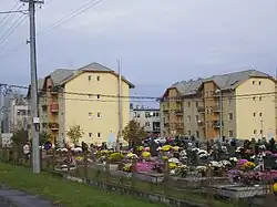
Branč (Hungarian: Berencs) is a village and municipality in the Nitra District in western Slovakia, in the Nitra Region.[4]
History
In historical records the village was first mentioned in 1156.
Geography
The village lies at an altitude of 137 metres and covers an area of 13.808 km². It has a population of about 2,070 people.
Ethnicity
Facilities
The village has a public library, DVD rental store and football pitch.
See also
References
- 1 2 "Hustota obyvateľstva - obce [om7014rr_ukaz: Rozloha (Štvorcový meter)]". www.statistics.sk (in Slovak). Statistical Office of the Slovak Republic. 2022-03-31. Retrieved 2022-03-31.
- 1 2 3 4 "Základná charakteristika". www.statistics.sk (in Slovak). Statistical Office of the Slovak Republic. 2015-04-17. Retrieved 2022-03-31.
- ↑ "Počet obyvateľov podľa pohlavia - obce (ročne)". www.statistics.sk (in Slovak). Statistical Office of the Slovak Republic. 2022-03-31. Retrieved 2022-03-31.
- ↑ "Branč - Okres Nitra - E-OBCE.sk".
Genealogical resources
The records for genealogical research are available at the state archive "Statny Archiv in Nitra, Slovakia"
- Roman Catholic church records (births/marriages/deaths): 1704-1945 (parish A)
- Lutheran church records (births/marriages/deaths): 1887-1954 (parish B)
External links
This article is issued from Wikipedia. The text is licensed under Creative Commons - Attribution - Sharealike. Additional terms may apply for the media files.