| Bratan Caldera | |
|---|---|
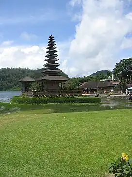 Pura Ulun | |
| Highest point | |
| Elevation | 2,276 m (7,467 ft)[1] |
| Coordinates | 8°17′S 115°08′E / 8.28°S 115.13°E |
| Geography | |
| Location | Bali, Indonesia |
| Geology | |
| Age of rock | Holocene |
| Mountain type | caldera |
Bratan or Catur or Tjatur contains three caldera lakes at the north of Bali island. The volcanic complex covers 11 × 6 km wide area. The largest post-caldera cone within the complex is Gunung Batukaru.[1]
See also
References
- 1 2 "Bratan". Global Volcanism Program. Smithsonian Institution. Retrieved 2006-12-26.
External links
![]() Bedugul travel guide from Wikivoyage
Bedugul travel guide from Wikivoyage
This article is issued from Wikipedia. The text is licensed under Creative Commons - Attribution - Sharealike. Additional terms may apply for the media files.