Brep | |
|---|---|
Village | |
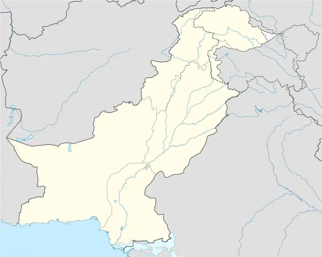 Brep Location in Pakistan | |
| Coordinates: 36°26′0″N 72°40′0″E / 36.43333°N 72.66667°E[1] | |
| Country | Pakistan |
| State | Khyber Pakhtunkhwa |
| District | Chitral District |
| Elevation | 512 m (1,680 ft) |
| Population (2003) | |
| • Total | 1,324 |
| Languages | |
| • Official language | Chitrali |
| Time zone | UTC+5 (PST) |
| Postal Index Number | 17010-0xx |
| Area code | 093-7 |
Brep is a village in upper Chitral District, Pakistan.[1] It is located near Sonoghar.
History
A Chinese fort existed there in the 18th century.[2]
About 40 houses in Brep were destroyed in flooding in July 2015.[3]
References
- 1 2 "Brep Map - Pakistan Google Satellite Maps". maplandia.com.
- ↑ Alberto Cacopardo & Augusto Cacopardo, "Gates of Peristan", Chapter 2 - Chitral, Herder International Book Centre, Rome
- ↑ "Many villages washed away in Yarkhun valley, Brep inundated". Chitral Today. 28 July 2015.
Administrative divisions of Chitral District | ||
|---|---|---|
| Capital | ||
| Tehsils | ||
| Union councils |
| |
This article is issued from Wikipedia. The text is licensed under Creative Commons - Attribution - Sharealike. Additional terms may apply for the media files.