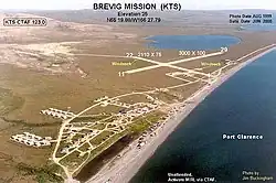
Brevig Mission Airport | |||||||||||||||
|---|---|---|---|---|---|---|---|---|---|---|---|---|---|---|---|
 | |||||||||||||||
| Summary | |||||||||||||||
| Airport type | Public | ||||||||||||||
| Owner | Alaska DOT&PF - Northern Region | ||||||||||||||
| Serves | Brevig Mission, Alaska | ||||||||||||||
| Elevation AMSL | 35 ft / 11 m | ||||||||||||||
| Coordinates | 65°19′53″N 166°27′57″W / 65.33139°N 166.46583°W | ||||||||||||||
| Map | |||||||||||||||
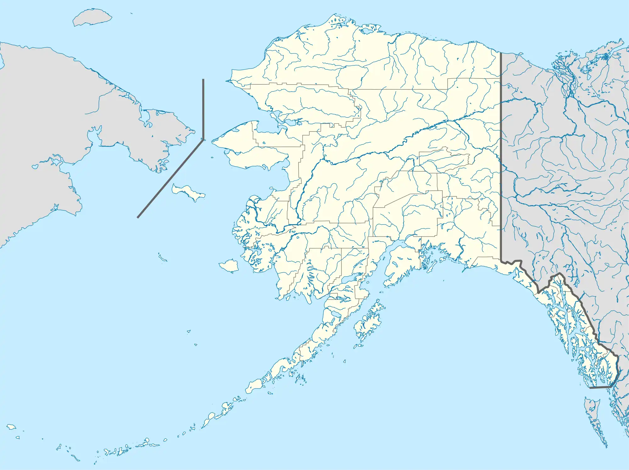 KTS Location of airport in Alaska | |||||||||||||||
| Runways | |||||||||||||||
| |||||||||||||||
| Statistics (2015) | |||||||||||||||
| |||||||||||||||
Brevig Mission Airport (IATA: KTS[2], ICAO: PFKT[3], FAA LID: KTS) is a state-owned public-use airport located in Brevig Mission, a city in the Nome Census Area of the U.S. state of Alaska.[1]
As per Federal Aviation Administration records, this airport had 2,696 passenger boardings (enplanements) in calendar year 2007, a decrease of 14% from the 3,152 enplanements in 2006.[4]
Facilities
Brevig Mission Airport covers an area of 344 acres (139 ha) at an elevation of 38 feet (12 m) above mean sea level. It has two gravel surfaced runways: 11/29 is 3,000 by 100 feet (914 x 30 m); 4/22 is 2,110 by 75 feet (643 x 23 m).[1]
Airlines and destinations
| Airlines | Destinations |
|---|---|
| Bering Air | Nome, Teller, Wales[5] |
Prior to its bankruptcy and cessation of all operations, Ravn Alaska served the airport from multiple locations.
Statistics
| Carrier | Passengers (arriving and departing) |
|---|---|
| Bering | 2,790(64.47%) |
| Hageland | 1,540(35.53%) |
| Rank | City | Airport | Passengers |
|---|---|---|---|
| 1 | Nome Airport | 2,050 | |
| 2 | Shishmaref Airport | 140 | |
| 3 | Wales Airport | 50 | |
| 4 | Teller Airport | 40 |
See also
References
- 1 2 3 FAA Airport Form 5010 for KTS PDF, effective January 5, 2017
- ↑ KTS: Brevig Mission Airport, Alaska. Aviation Safety Network. Retrieved 2007-09-17.
- ↑ PFKT: Allakaket Airport, Alaska. AirNav.com. Retrieved 2008-09-21.
- ↑ Preliminary CY 2007 Passenger Boarding Data. Federal Aviation Administration. 2008-07-17.
- ↑ "Bering Air Nome & Unalakleet Schedule" (PDF). Bering Air. Retrieved September 10, 2022.
- 1 2 "Brevig Mission, AK: Brevig Mission (KTS)". Bureau of Transportation Statistics (BTS), Research and Innovative Technology Administration (RITA), U.S. Department of Transportation. December 2015. Retrieved January 14, 2017.
External links
- FAA Alaska airport diagram (GIF)
- Airport information for PFKT at AirNav
- Accident history for KTS at Aviation Safety Network
- Aeronautical chart and airport information for KTS at SkyVector
This article is issued from Wikipedia. The text is licensed under Creative Commons - Attribution - Sharealike. Additional terms may apply for the media files.