| Bridgend of Lintrathen | |
|---|---|
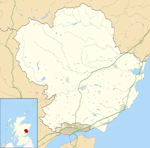 Bridgend of Lintrathen Location within Angus | |
| OS grid reference | NO285545 |
| Council area | |
| Lieutenancy area | |
| Country | Scotland |
| Sovereign state | United Kingdom |
| Post town | KIRRIEMUIR |
| Postcode district | DD8 |
| Dialling code | 01575 |
| Police | Scotland |
| Fire | Scottish |
| Ambulance | Scottish |
| UK Parliament | |
| Scottish Parliament | |
Bridgend of Lintrathen is a village in Angus, Scotland.[1][2] It is situated on the southern shore of Loch of Lintrathen, six miles west of Kirriemuir.

Bridgend of Lintrathen
References
- ↑ Ordnance Survey: Landranger map sheet 53 Blairgowrie & Forest of Alyth (Map). Ordnance Survey. 2012. ISBN 9780319231210.
- ↑ "Ordnance Survey: 1:50,000 Scale Gazetteer" (csv (download)). www.ordnancesurvey.co.uk. Ordnance Survey. 1 January 2016. Retrieved 30 January 2016.
Wikimedia Commons has media related to Bridgend of Lintrathen.
This article is issued from Wikipedia. The text is licensed under Creative Commons - Attribution - Sharealike. Additional terms may apply for the media files.