Brooklyn, Connecticut | |
|---|---|
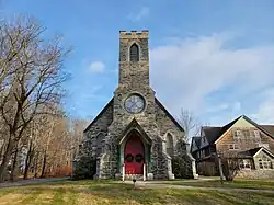 Trinity Episcopal Church | |
 Brooklyn  Brooklyn | |
| Coordinates: 41°47′17″N 71°56′58″W / 41.78806°N 71.94944°W | |
| Country | |
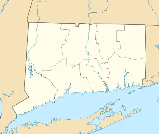
| State | Connecticut |
| County | Windham |
| Town | Brooklyn |
| Area | |
| • Total | 2.99 km2 (1.15 sq mi) |
| • Land | 2.99 km2 (1.15 sq mi) |
| • Water | 0.0 km2 (0.0 sq mi) |
| Elevation | 90 m (280 ft) |
| Population | 981 |
| • Density | 328.2/km2 (850/sq mi) |
| Time zone | UTC-5 (Eastern (EST)) |
| • Summer (DST) | UTC-4 (EDT) |
| ZIP Code | 06234 |
| Area code(s) | 860/959 |
| FIPS code | 09-09120 |
| GNIS feature ID | 2631560[2] |
Brooklyn is a census-designated place (CDP) comprising the central unincorporated village in the town of Brooklyn in Windham County, Connecticut, United States. U.S. Route 6 passes through the center of the village, leading east to Danielson and west to Willimantic. As of the 2010 census, the population of the CDP was 981,[3] out of 8,210 in the entire town of Brooklyn.
The Brooklyn Green Historic District is at the center of the village.
References
- ↑ "2020 U.S. Gazetteer Files – Connecticut". United States Census Bureau. Retrieved April 16, 2021.
- 1 2 "Brooklyn Census Designated Place". Geographic Names Information System. United States Geological Survey, United States Department of the Interior.
- 1 2 "Total Population: 2010 Census DEC Summary File 1 (P1), Brooklyn CDP, Connecticut". data.census.gov. U.S. Census Bureau. Retrieved April 16, 2021.
Municipalities and communities of Windham County, Connecticut, United States | ||
|---|---|---|
| Towns | 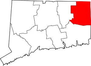 | |
| Borough | ||
| Former cities | ||
| CDPs | ||
| Other communities | ||
This article is issued from Wikipedia. The text is licensed under Creative Commons - Attribution - Sharealike. Additional terms may apply for the media files.