Brownsville | |
.jpg.webp) Brownsville, HABS Photo | |
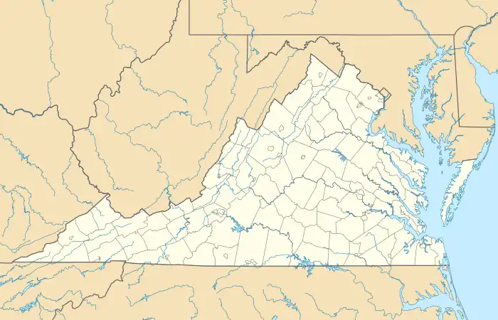  | |
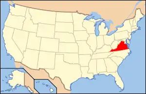
| Location | Southwest of the junction of Rtes. 608 and 600, near Nassawadox, Virginia |
|---|---|
| Coordinates | 37°28′04″N 75°49′35″W / 37.46778°N 75.82639°W |
| Area | 600 acres (240 ha) |
| Built | 1806 |
| Architectural style | Federal |
| NRHP reference No. | 70000819[1] |
| VLR No. | 065-0003 |
| Significant dates | |
| Added to NRHP | February 26, 1970 |
| Designated VLR | December 2, 1969[2] |
Brownsville is a historic home located near Nassawadox, Northampton County, Virginia. It was built in 1806, and is a two-story, brick structure with a gable roof and interior end chimney. A 1+1⁄2-story frame wing was added in 1809. The interior features Federal style woodwork.[3]
According to the Federal Writers' Project, a prehistoric Indigenous village once stood here.[4]
Brownsville was listed on the National Register of Historic Places in 1970.[1]
References
- 1 2 "National Register Information System". National Register of Historic Places. National Park Service. July 9, 2010.
- ↑ "Virginia Landmarks Register". Virginia Department of Historic Resources. Archived from the original on September 21, 2013. Retrieved June 5, 2013.
- ↑ Virginia Historic Landmarks Commission (October 1969). "National Register of Historic Places Inventory/Nomination: Brownsville" (PDF). Virginia Department of Historic Resources. and Accompanying photo
- ↑ Federal Writers' Project (1938). The Ocean Highway: New Brunswick, New Jersey to Jacksonville, Florida. Works Progress Administration. p. 75.
External links
- Brownsville, State Routes 608 & 600 vicinity, Nassawadox, Northampton County, VA 13 photos, 2 data pages, and 1 photo caption page at Historic American Buildings Survey
This article is issued from Wikipedia. The text is licensed under Creative Commons - Attribution - Sharealike. Additional terms may apply for the media files.