| Buckland River | |
|---|---|
 | |
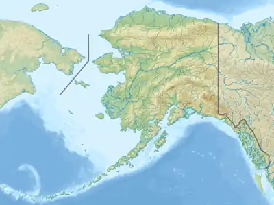 Location of the mouth of the Buckland River in Alaska | |
| Location | |
| Country | United States |
| State | Alaska |
| Borough | Northwest Arctic |
| Physical characteristics | |
| Source | Confluence of the river's north and south forks |
| • location | South of the Selawik Hills, Seward Peninsula |
| • coordinates | 65°45′00″N 160°02′23″W / 65.75000°N 160.03972°W[1] |
| • elevation | 146 ft (45 m)[2] |
| Mouth | Eschscholtz Bay on Kotzebue Sound of the Chukchi Sea |
• location | 40 miles (64 km) southwest of Selawik |
• coordinates | 66°14′36″N 161°02′39″W / 66.24333°N 161.04417°W[1] |
• elevation | 0 ft (0 m)[1] |
| Length | 67 mi (108 km)[1] |
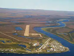
The Buckland River (Kaŋiq in Inupiaq) is a stream, 67 miles (108 km) long, in the U.S. state of Alaska.[1] It flows northwest to the Chukchi Sea at Eschscholtz Bay, 40 miles (64 km) southwest of Selawik in the Northwest Arctic Borough.[1]
Naval officer Frederick William Beechey named the river in 1826 for a geology professor at the University of Oxford in England. Other 19th-century names for the river included Russian translations of the Inuit as Kanyk and the Koyukon Indian as Kotsokhotana. Another translation of the Inuit was Kung-uk.[1]
See also
References
- 1 2 3 4 5 6 7 "Buckland River". Geographic Names Information System. United States Geological Survey. March 23, 2001. Retrieved September 18, 2013.
- ↑ Derived by entering source coordinates in Google Earth.
This article is issued from Wikipedia. The text is licensed under Creative Commons - Attribution - Sharealike. Additional terms may apply for the media files.