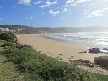
Buffelsbaai
Buffelsbaai | |
|---|---|
.jpg.webp) Buffelsbaai from the air | |
 Buffelsbaai 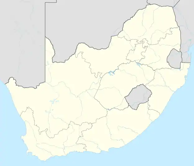 Buffelsbaai | |
| Coordinates: 34°05′S 22°58′E / 34.083°S 22.967°E | |
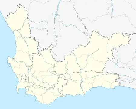
| Country | South Africa |
| Province | Western Cape |
| District | Garden Route |
| Municipality | Knysna |
| Area | |
| • Total | 0.82 km2 (0.32 sq mi) |
| Population (2011)[1] | |
| • Total | 71 |
| • Density | 87/km2 (220/sq mi) |
| Racial makeup (2011) | |
| • Black African | 1.4% |
| • Coloured | 71.8% |
| • White | 26.8% |
| First languages (2011) | |
| • Afrikaans | 100.0% |
| Time zone | UTC+2 (SAST) |
Buffelsbaai (also Buffels Bay and Buffalo Bay) is a small seaside village 20 kilometres [2] from Knysna in the Garden Route District Municipality in the Western Cape province of South Africa. The village is named after Buffelsbaai which stretches east of the village. It is a popular vacation destination with a small waterfront with stores.
The cargo ship Kiani Satu, travelling from Hong Kong to Ghana with a shipment of rice, ran aground and sank off the coast of the town in August 2013. Leaked oil from the vessel threatened the nearby Goukamma Nature Reserve; 217 birds were cleaned by SANCCOB after the spill.[3][4]
References
- 1 2 3 4 "Main Place Buffelsbaai". Census 2011.
- ↑ "Google Maps".
- ↑ "Kiani Satu sinks off Knysna". News24. 21 August 2013. Retrieved 5 August 2014.
- ↑ "Kiani Satu afloat after stalling". eNCA. 17 August 2013. Retrieved 5 August 2014.
Municipalities and communities of Garden Route District Municipality, Western Cape | ||
|---|---|---|
District seat: George | ||
| Bitou | .svg.png.webp) Garden Route District within South Africa | |
| George | ||
| Hessequa | ||
| Kannaland | ||
| Knysna | ||
| Mossel Bay | ||
| Oudtshoorn | ||
This article is issued from Wikipedia. The text is licensed under Creative Commons - Attribution - Sharealike. Additional terms may apply for the media files.