Volmoed | |
|---|---|
 Church in Volmoed | |
 Volmoed 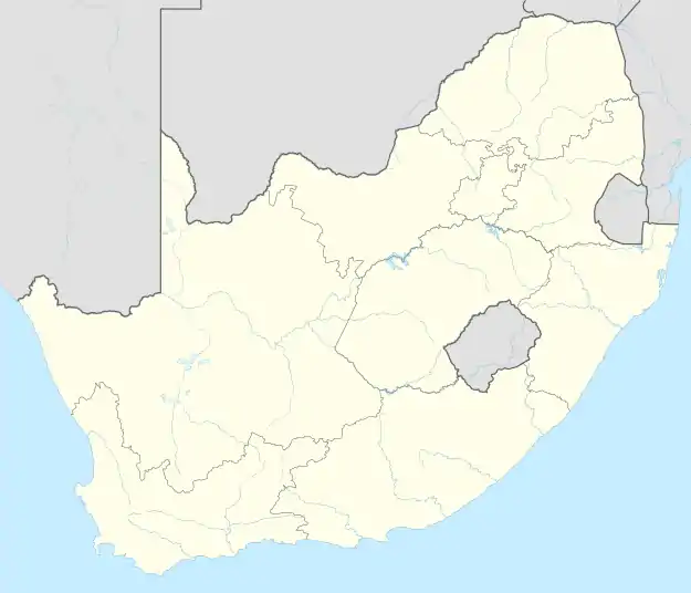 Volmoed | |
| Coordinates: 33°39′S 22°05′E / 33.650°S 22.083°E | |
| Country | South Africa |
| Province | Western Cape |
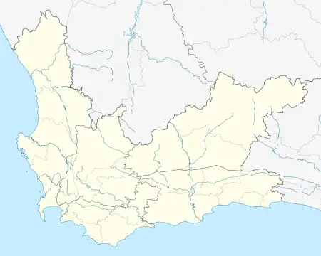
| District | Garden Route |
| Municipality | Oudtshoorn |
| Area | |
| • Total | 2.29 km2 (0.88 sq mi) |
| Population (2001)[1] | |
| • Total | 235 |
| • Density | 100/km2 (270/sq mi) |
| Racial makeup (2001) | |
| • Coloured | 86.0% |
| • White | 14.0% |
| First languages (2001) | |
| • Afrikaans | 100% |
| Time zone | UTC+2 (SAST) |
| PO box | 6624 |
Volmoed is a settlement in Garden Route District Municipality in the Western Cape province of South Africa.
Volmoed is a small town in the Klein Karoo, about 15km from Oudtshoorn. It was formerly known as Armoed.[2]
References
Municipalities and communities of Garden Route District Municipality, Western Cape | ||
|---|---|---|
District seat: George | ||
| Bitou | .svg.png.webp) Garden Route District within South Africa | |
| George | ||
| Hessequa | ||
| Kannaland | ||
| Knysna | ||
| Mossel Bay | ||
| Oudtshoorn | ||
This article is issued from Wikipedia. The text is licensed under Creative Commons - Attribution - Sharealike. Additional terms may apply for the media files.