Burr | |
|---|---|
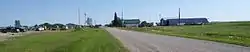 Burr in August 2014 | |
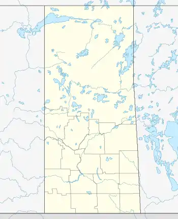 Location of Burr in Saskatchewan | |
| Coordinates: 52°02′31″N 105°08′06″W / 52.042°N 105.135°W | |
| Country | Canada |
| Province | Saskatchewan |
| Region | Saskatchewan |
| Census division | 11 |
| Rural Municipality | Wolverine |
| Elevation | 557.78 m (1,830 ft) |
| Time zone | CST |
| Postal code | S0K 0T0 |
| Area code | 306 |
| Highways | Highway 20 |
Burr is an unincorporated community south of Humboldt, Saskatchewan.
It has an office for the rural municipality of Wolverine No. 340, a post office. A short distance north is a hall, and Saint Scholastica Roman Catholic Church (founded 1905).[1][2][3]
According to the Encyclopedia of Saskatchewan, Victoria Cross recipient Raphael Louis Zengel lived in Burr from 1906 to 1914.[4]
The "Burr Project" is a plan to extract potash from a large deposit in the area.[5]
See also
References
- ↑ "Municipal Directory System". Archived from the original on August 9, 2014. Retrieved August 8, 2014.
- ↑ "Canada Post Precision Targeter".
- ↑ "Parish Schedules | St. Scholastica - Burr".
- ↑ "The Encyclopedia of Saskatchewan | Details". Archived from the original on March 12, 2017. Retrieved January 2, 2009.
- ↑ Saskatoon Star-Phoenix article on the Burr Project Archived November 5, 2012, at the Wayback Machine
Places adjacent to Burr, Saskatchewan | |
|---|---|
This article is issued from Wikipedia. The text is licensed under Creative Commons - Attribution - Sharealike. Additional terms may apply for the media files.