Ca Élie | |
|---|---|
Village | |
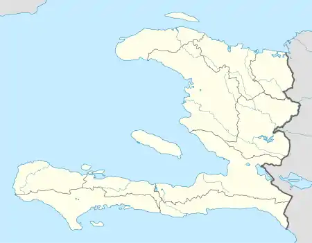 Ca Élie Location in Haiti[1] | |
| Coordinates: 18°40′47″N 72°02′46″W / 18.6795928°N 72.0461586°W | |
| Country | |
| Department | Ouest |
| Arrondissement | Croix-des-Bouquets |
| Elevation | 444 m (1,457 ft) |
Ca Élie is a village in the Cornillon commune in the Croix-des-Bouquets Arrondissement, in the Ouest department of Haiti.[2]
See also
- Cornillon, for a list of other settlements in the commune.
References
- ↑ "National Geospatial-Intelligence Agency". GeoNames Search. Retrieved 6 September 2014.
- ↑ Google (6 September 2014). "Location" (Map). Google Maps. Google. Retrieved 6 September 2014.
This article is issued from Wikipedia. The text is licensed under Creative Commons - Attribution - Sharealike. Additional terms may apply for the media files.