| Caparo River | |
|---|---|
 The estuary of the Caparo River | |
| Physical characteristics | |
| Mouth | |
• location | Gulf of Paria |
• coordinates | 10°31′30″N 61°28′00″W / 10.5251°N 61.4666°W |
• elevation | 0m |
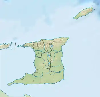
The Caparo River is a river which drains into the Gulf of Paria on the west coast of Trinidad. It flows through the town of Chaguanas.[1]
References
- ↑ "History of Chaguanas". Chaguanas Borough Corporation. 22 October 2013. Retrieved 5 February 2017.
See also
This article is issued from Wikipedia. The text is licensed under Creative Commons - Attribution - Sharealike. Additional terms may apply for the media files.