Cartoceto | |
|---|---|
| Comune di Cartoceto | |
Location of Cartoceto | |
 Cartoceto Location of Cartoceto in Italy 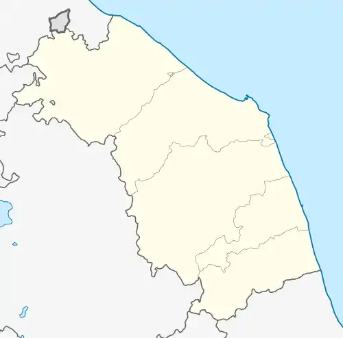 Cartoceto Cartoceto (Marche) | |
| Coordinates: 43°46′N 12°53′E / 43.767°N 12.883°E | |
| Country | Italy |
| Region | Marche |
| Province | Pesaro e Urbino (PU) |
| Frazioni | Lucrezia, Molinaccio, Pontemurello, Ripalta, Salomone, Sant'Anna |
| Government | |
| • Mayor | Enrico Rossi |
| Area | |
| • Total | 23.2 km2 (9.0 sq mi) |
| Elevation | 235 m (771 ft) |
| Population (31 May 2017)[2] | |
| • Total | 7,888 |
| • Density | 340/km2 (880/sq mi) |
| Demonym | Cartocetani |
| Time zone | UTC+1 (CET) |
| • Summer (DST) | UTC+2 (CEST) |
| Postal code | 61030 |
| Dialing code | 0721 |
| Patron saint | St. Bernardino |
| Saint day | 20 May |
| Website | Official website |
Cartoceto is a comune (municipality) in the Province of Pesaro e Urbino in the Italian region Marche, located about 50 kilometres (31 mi) northwest of Ancona and about 15 kilometres (9 mi) south of Pesaro.
Twin towns
 Hügelsheim, Germany
References
- ↑ "Superficie di Comuni Province e Regioni italiane al 9 ottobre 2011". Italian National Institute of Statistics. Retrieved 16 March 2019.
- ↑ All demographics and other statistics: Italian statistical institute Istat.
Wikimedia Commons has media related to Cartoceto.
This article is issued from Wikipedia. The text is licensed under Creative Commons - Attribution - Sharealike. Additional terms may apply for the media files.