Castelbellino | |
|---|---|
| Comune di Castelbellino | |
 Vista of Castelbellino | |
Location of Castelbellino | |
 Castelbellino Location of Castelbellino in Italy 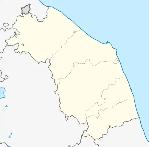 Castelbellino Castelbellino (Marche) | |
| Coordinates: 43°29′N 13°9′E / 43.483°N 13.150°E | |
| Country | Italy |
| Region | Marche |
| Province | Province of Ancona (AN) |
| Frazioni | Stazione, Pianello, Pantiere, Scorcelletti |
| Area | |
| • Total | 6.05 km2 (2.34 sq mi) |
| Elevation | 267 m (876 ft) |
| Population (30 June 2017)[2] | |
| • Total | 4,976 |
| • Density | 820/km2 (2,100/sq mi) |
| Demonym | Castelbellinesi |
| Time zone | UTC+1 (CET) |
| • Summer (DST) | UTC+2 (CEST) |
| Postal code | 60030 |
| Dialing code | 0731 |
| Website | Official website |
Castelbellino is a comune (municipality) in the Province of Ancona in the Italian region Marche, located about 35 kilometres (22 mi) southwest of Ancona.
Castelbellino borders the following municipalities: Jesi, Maiolati Spontini, Monte Roberto.
References
- ↑ "Superficie di Comuni Province e Regioni italiane al 9 ottobre 2011". Italian National Institute of Statistics. Retrieved 16 March 2019.
- ↑ All demographics and other statistics: Italian statistical institute Istat.
External links
This article is issued from Wikipedia. The text is licensed under Creative Commons - Attribution - Sharealike. Additional terms may apply for the media files.