Castledaly
Caisleán Uí Dhálaigh | |
|---|---|
Village | |
 Castledaly Manor, built around 1780, is now a Christian Camp and Conference Centre | |
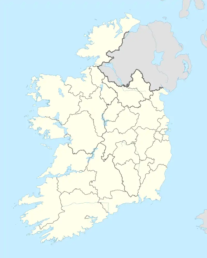 Castledaly Location in Ireland | |
| Coordinates: 53°22′34″N 7°47′31″W / 53.376°N 7.792°W | |
| Country | Ireland |
| Province | Leinster |
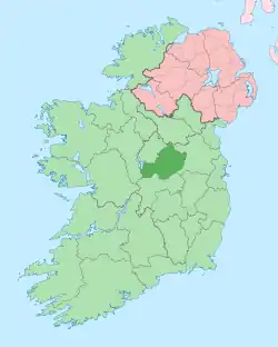
| County | County Westmeath |
| Government | |
| • Dáil Éireann | Longford–Westmeath |
| Time zone | UTC+0 (WET) |
| • Summer (DST) | UTC-1 (IST (WEST)) |
| Irish grid reference | N134361 |
Castledaly (Irish: Caisleán Uí Dhálaigh)[1] is a village and electoral district in County Westmeath, Ireland. It is located on the R444 regional road 5 km southwest of the town of Moate and about 13km from Athlone.
Village
Castledaly village consists of a church, community centre, pub, GAA pitch and walking track and a children's playground. Castledaly Manor, a nearby Georgian stately home built around 1780, is now used as a Christian Camp and Conference Centre.[2] The local national (primary) school, Kilcleagh National School, had approximately 100 pupils enrolled as of 2020.[3] The village has a Tidy Towns committee.[4]
See also
References
- ↑ "Caisleán Uí Dhálaigh / Castledaly". logainm.ie. Placenames Database of Ireland. Retrieved 24 January 2021.
- ↑ "Camp & Conference Centre". BCM Ireland. Retrieved 23 September 2020.
- ↑ "Kilcleagh National School". 2020. Retrieved 24 January 2021.
School Calendar 2020 – 2021 [..] There are 101 pupils enrolled this year
- ↑ "Welcome to Castledaly Tidy Towns". castledalytidytowns.ie. Retrieved 24 January 2021.
This article is issued from Wikipedia. The text is licensed under Creative Commons - Attribution - Sharealike. Additional terms may apply for the media files.