| Castlesessagh | |
|---|---|
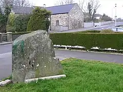 Standing stone in the eastern part of Castlesessagh | |
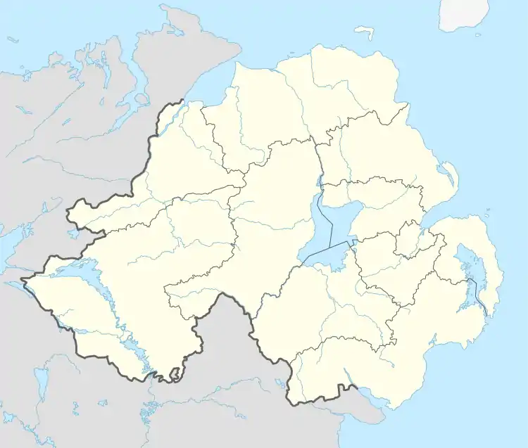 Castlesessagh Location within Northern Ireland | |
| Population | 165 (2008 estimate) |
| Irish grid reference | H262845 |
| • Belfast | 85 miles |
| District | |
| County | |
| Country | Northern Ireland |
| Sovereign state | United Kingdom |
| Post town | CASTLEDERG |
| Postcode district | BT81 |
| Dialling code | 028, +44 28 |
| UK Parliament | |
| NI Assembly | |
Castlesessagh is a townland of 165 acres (67.53 ha) in County Tyrone, Northern Ireland. It is situated in the civil parish of Urney and the historic barony of Omagh West.[1] Parts of the town of Castlederg are located in this townland.
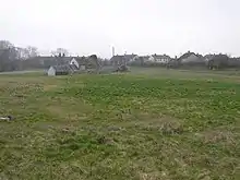
Rough ground in the southern part of Castlesessagh
See also
References
- ↑ "Castlesessagh". IreAtlas Townlands Database. Retrieved 16 April 2015.
This article is issued from Wikipedia. The text is licensed under Creative Commons - Attribution - Sharealike. Additional terms may apply for the media files.