Chapda | |
|---|---|
Village | |
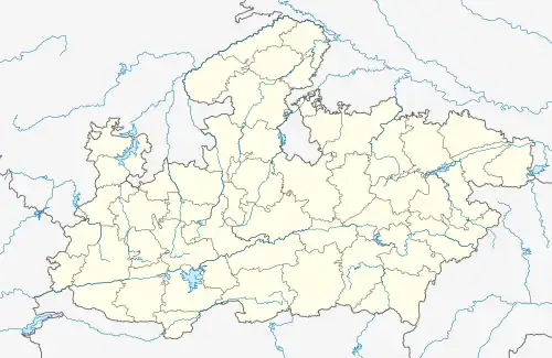 Chapda Location in Madhya Pradesh, India 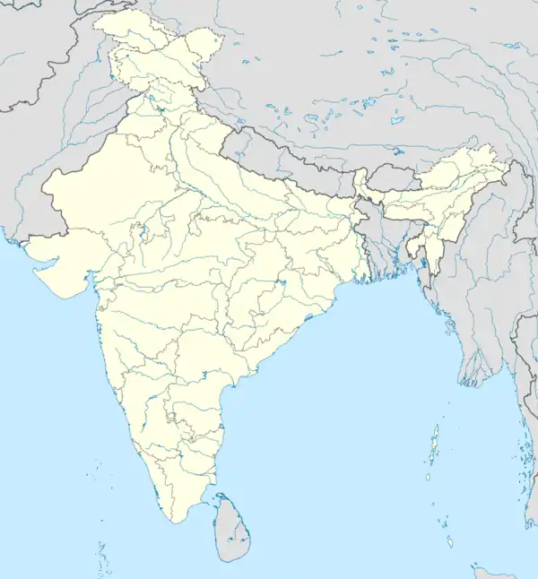 Chapda Chapda (India) | |
| Coordinates: 22°42′0″N 76°19′0″E / 22.70000°N 76.31667°E | |
| Country | |
| State | Madhya Pradesh |
| District | Dewas |
| Government | |
| • Body | Bagli Tehsil |
| Population (2011) | |
| • Total | 6,624 |
| Languages | |
| • Official | Hindi |
| Time zone | UTC+5:30 (IST) |
| PIN | 455227 |
| ISO 3166 code | IN-MP |
| Vehicle registration | MP |
Chapda is a town in the Dewas district of Madhya Pradesh state in India. Chapada is around 52.8 km (32.8 mi) from Indore.
Demographics
The Chapada village has a population of 6624. In 2011, the literacy rate of Chapada village was 73.20% compared to 69.32% in Madhya Pradesh. In Chapada, Male literacy stands at 83.04% while the female literacy rate was 62.79%.[1]
See also
References
External links
This article is issued from Wikipedia. The text is licensed under Creative Commons - Attribution - Sharealike. Additional terms may apply for the media files.