Cheadle Airport | |||||||||||
|---|---|---|---|---|---|---|---|---|---|---|---|
| Summary | |||||||||||
| Airport type | Public | ||||||||||
| Operator | G. Jackson | ||||||||||
| Location | Wheatland County, near Cheadle, Alberta | ||||||||||
| Time zone | MST (UTC−07:00) | ||||||||||
| • Summer (DST) | MDT (UTC−06:00) | ||||||||||
| Elevation AMSL | 3,300 ft / 1,006 m | ||||||||||
| Coordinates | 51°03′27″N 113°37′25″W / 51.05750°N 113.62361°W | ||||||||||
| Map | |||||||||||
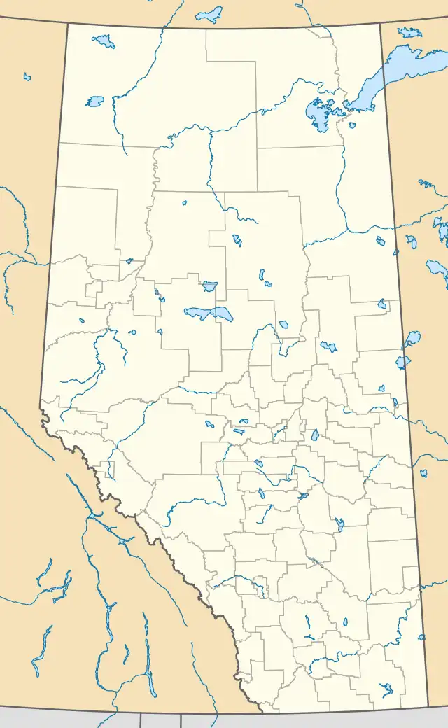 CFQ4 Location in Alberta 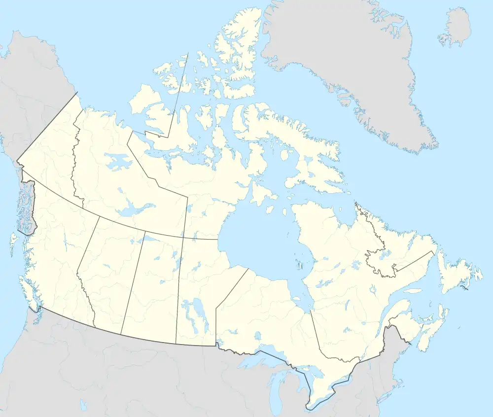 CFQ4 CFQ4 (Canada) | |||||||||||
| Runways | |||||||||||
| |||||||||||
Source: Canada Flight Supplement[1] | |||||||||||
Cheadle Airport (IATA: TIL, TC LID: CFQ4) is located 4 nautical miles (7.4 km; 4.6 mi) northwest of Cheadle, Alberta, Canada.
See also
References
External links
- Page about this airport on COPA's Places to Fly airport directory
| By name | |
|---|---|
| By location indicator | |
| By province/territory | |
| By area | |
| National Airports System | |
| Related | |
| |
This article is issued from Wikipedia. The text is licensed under Creative Commons - Attribution - Sharealike. Additional terms may apply for the media files.