Chikhalwadi | |
|---|---|
Village | |
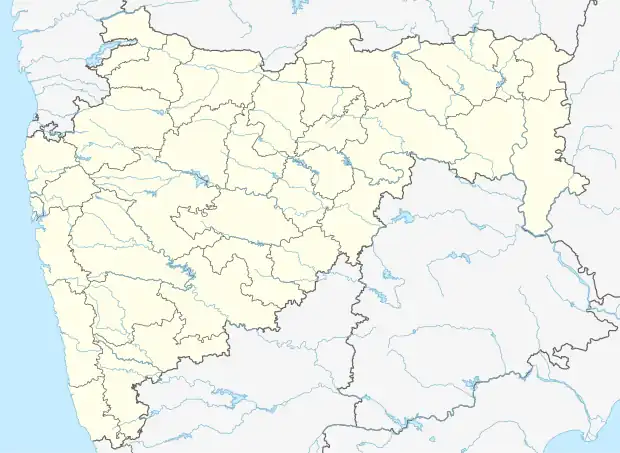 Chikhalwadi Location in Shirala, Maharashtra, India  Chikhalwadi Chikhalwadi (India) | |
| Coordinates: 16°56′40″N 74°08′21″E / 16.9445043°N 74.1391755°E | |
| Country | |
| State | Maharashtra |
| District | Sangli |
| Languages | |
| • Official | Marathi |
| Time zone | UTC+5:30 (IST) |
| PIN | 415408 |
| Telephone code | 02345 |
| Vehicle registration | MH 10 |
| Nearest city | Kolhapur |
| Lok Sabha constituency | Hatkanangle |
| Vidhan Sabha constituency | Shirala (Vidhan Sabha constituency) |
Chikhalwadi is a village under Sangli district, Maharashtra, comprising 203 hectares. In 2011 the village had 1,019 inhabitants contained in 219 households.[1]
References
This article is issued from Wikipedia. The text is licensed under Creative Commons - Attribution - Sharealike. Additional terms may apply for the media files.