Chira
شيرا | |
|---|---|
Village | |
 Chira Location within Lebanon | |
| Coordinates: 34°16′21″N 35°51′57″E / 34.2725°N 35.86583°E | |
| Country | Lebanon |
| Governorate | North Governorate |
| District | Koura District Bsharri District |
| Elevation | 718 m (2,356 ft) |
| Time zone | UTC+2 (EET) |
| • Summer (DST) | UTC+3 (EEST) |
Chîra (Arabic: شيرا) is a Maronite village between the Bsharri District and the Koura District of Lebanon.[1][2]
References
- ↑ "GeoNames.org". www.geonames.org. Retrieved 2023-03-20.
- ↑ "Chira · Lebanon". Chira · Lebanon. Retrieved 2023-03-20.
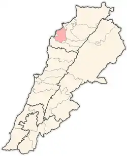
Capital: Bsharri | ||
| Towns and villages | 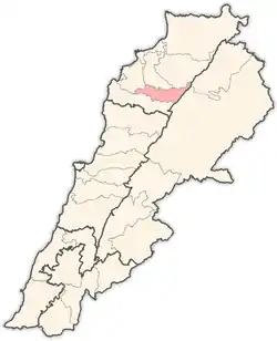 | |
| Notable landmarks | ||
| Notable people | ||
This article is issued from Wikipedia. The text is licensed under Creative Commons - Attribution - Sharealike. Additional terms may apply for the media files.