Chittarikkal | |
|---|---|
Town | |
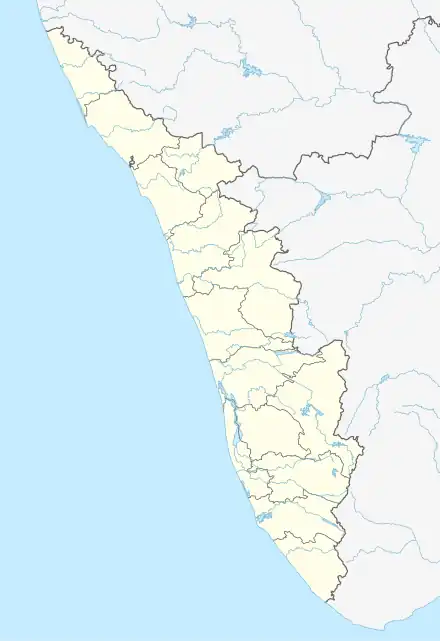 Chittarikkal Location in Kerala, India  Chittarikkal Chittarikkal (India) | |
| Coordinates: 12°19′24″N 75°21′30″E / 12.323360°N 75.358340°E | |
| Country | |
| State | Kerala |
| District | Kasaragod |
| Government | |
| • Type | Village |
| Area | |
| • Total | 32.65 km2 (12.61 sq mi) |
| Population (2011) | |
| • Total | 15,152 |
| • Density | 460/km2 (1,200/sq mi) |
| Languages | |
| Time zone | UTC+5:30 (IST) |
| ISO 3166 code | IN-KL |
| Vehicle registration | KL-60, KL-79 |
| Nearest city | Nileshwar |
| Nearest railway station | Nileshwar |
Chittarikkal is a town in Vellarikundu Taluk in Kasaragod district in the state of Kerala, India.[1] It is also a ward of the East Eleri grama panchayat.[2]
Demographics
As of the 2011 Indian census, Chittarikkal had a population of 15,152: 7,398 male and 7,754 female. The village had a land area of 3265 hectares containing 3726 households. The village had a literacy rate of 86%.[3]
References
- ↑ "Census of India : Villages with population 5000 & above". Registrar General & Census Commissioner, India. Archived from the original on 8 December 2008. Retrieved 10 December 2008.
- ↑ https://lsgkerala.gov.in/en/lbelection/electdmemberdet/2020/1209
- ↑ https://censusindia.gov.in/census.website/data/population-finder
| Municipalites | |
|---|---|
| Taluks | |
This article is issued from Wikipedia. The text is licensed under Creative Commons - Attribution - Sharealike. Additional terms may apply for the media files.