Chourai
Chaurai Khas | |
|---|---|
Town | |
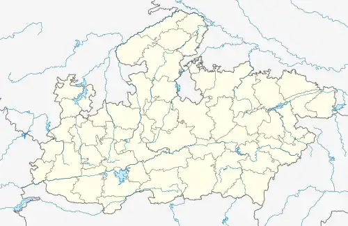 Chourai Location in Madhya Pradesh, India 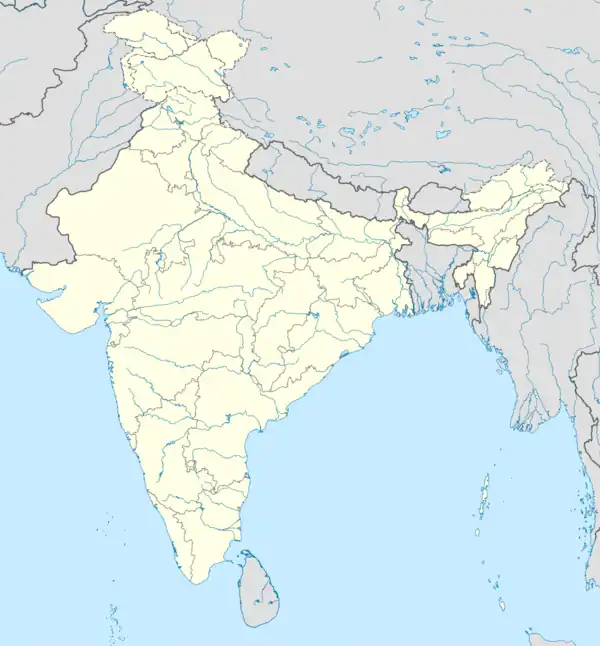 Chourai Chourai (India) | |
| Coordinates: 22°3′32″N 79°14′51″E / 22.05889°N 79.24750°E | |
| Country | |
| State | Madhya Pradesh |
| District | Chhindwara |
| Population (2001) | |
| • Total | 11,399 |
| Languages | |
| • Official | Hindi |
| Time zone | UTC+5:30 (IST) |
| ISO 3166 code | IN-MP |
| Vehicle registration | MP |
Chourai is a town and a nagar panchayat in Chhindwara district in the state of Madhya Pradesh, India.
Geography
The National Highway 347 runs through the town.
Demographics
As of 2001 India census,[1] Chaurai Khas had a population of 11,399. Males constitute 52% of the population and females 48%. Chaurai Khas has an average literacy rate of 69%, higher than the national average of 59.5%; with male literacy of 74% and female literacy of 63%. 13% of the population is under 6 years of age.
Attractions
Machagora Dam is 15.2 KM from Chourai. Shasthi Mata Mandir Kapurda is 10.4 KM from Chourai.
References
- ↑ "Census of India 2001: Data from the 2001 Census, including cities, villages and towns (Provisional)". Census Commission of India. Archived from the original on 16 June 2004. Retrieved 1 November 2008.
This article is issued from Wikipedia. The text is licensed under Creative Commons - Attribution - Sharealike. Additional terms may apply for the media files.