- For Church Cove, Gunwalloe, see Gunwalloe
| Church Cove | |
|---|---|
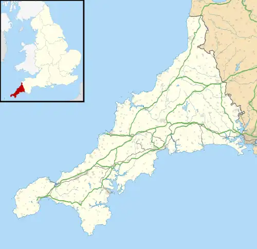 Church Cove Location within Cornwall | |
| OS grid reference | SW711125 |
| Unitary authority | |
| Ceremonial county | |
| Region | |
| Country | England |
| Sovereign state | United Kingdom |
| Post town | HELSTON |
| Postcode district | TR12 |
| Dialling code | 01326 |
| Police | Devon and Cornwall |
| Fire | Cornwall |
| Ambulance | South Western |
| UK Parliament | |
Church Cove is a hamlet in the civil parish of Landewednack in Cornwall, England. Its nearest town is Helston, which lies approximately 10.1 miles (16.3 km) north-west from the hamlet. The parish is notable for being the most southern point on British mainland.[1]
Church Cove lies within the Cornwall Area of Outstanding Natural Beauty (AONB).
Parts of the hamlet lie within Caerthillian to Kennack SSSI (Site of Special Scientific Interest).[2]
References
- ↑ Ordnance Survey: Explorer map sheet 103 The Lizard ISBN 978-0-319-24117-2
- ↑ "Caerthillian to Kennack map". Natural England. Retrieved 17 November 2011.
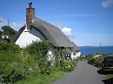
A cottage at Church Cove
External links
Wikimedia Commons has media related to Church Cove, The Lizard.
| Unitary authorities | |
|---|---|
| Major settlements (cities in italics) |
|
| Rivers | |
| Topics | |
This article is issued from Wikipedia. The text is licensed under Creative Commons - Attribution - Sharealike. Additional terms may apply for the media files.