| Clarence | |
|---|---|
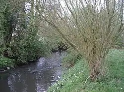 The Clarence in Lapugnoy | |
  | |
| Location | |
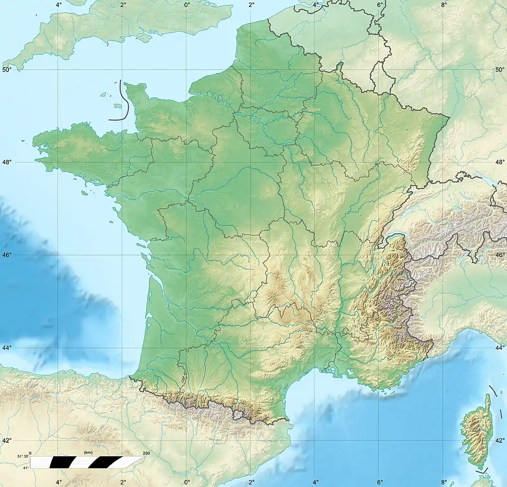
| Country | France |
| Physical characteristics | |
| Source | |
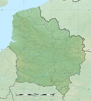
| • location | Picardie |
| Mouth | |
• location | Lys |
• coordinates | 50°38′16″N 2°38′45″E / 50.63778°N 2.64583°E |
| Length | 33 km (21 mi) |
| Basin features | |
| Progression | Lys→ Scheldt→ North Sea |
The Clarence is a river in northern France whose 33-kilometre (21 mi) course crosses the department of Pas-de-Calais.[1]
Its source is near the village of Sains-lès-Pernes. It flows through the communes of Sachin, Pernes, Calonne-Ricouart, Calonne-sur-la-Lys and Gonnehem, finally joining the Lys near Merville.
It has two tributaries, the Nave and the Grand Nocq.
References
External links
(All French language)
- Banque Hydro - Station E3646210 - La Clarence à Robecq Archived 2015-02-19 at the Wayback Machine Bassin versant = 156 square kilometres (60 sq mi)
- Informations générales sur les atlas des zones inondables
This article is issued from Wikipedia. The text is licensed under Creative Commons - Attribution - Sharealike. Additional terms may apply for the media files.