Cogar, Oklahoma | |
|---|---|
 | |
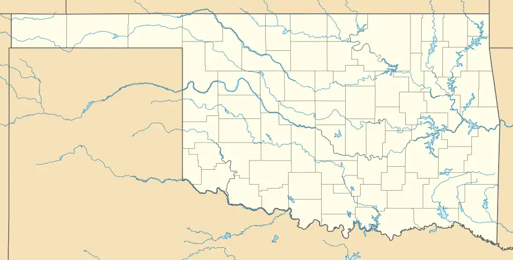 Cogar Location within the state of Oklahoma  Cogar Cogar (the United States) | |
| Coordinates: 35°20′2″N 98°7′50″W / 35.33389°N 98.13056°W | |
| Country | United States |
| State | Oklahoma |
| County | Caddo |
| Elevation | 1,470 ft (448 m) |
| Time zone | UTC-6 (Central (CST)) |
| • Summer (DST) | UTC-5 (CDT) |
| GNIS feature ID | 1100310[1] |
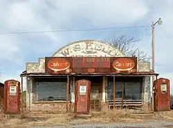
Cogar is a small unincorporated rural community in northeast Caddo County, Oklahoma, United States.[1][2] It is located approximately 10 miles west of Minco, Oklahoma on Oklahoma State Highway 37, and about 5 miles east of Salyer Lake on Oklahoma State Highway 152. The post office was established March 25, 1902, and discontinued September 30, 1954.[2]
References
Municipalities and communities of Caddo County, Oklahoma, United States | ||
|---|---|---|
| City | 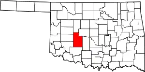 Caddo County map | |
| Towns | ||
| CDP | ||
| Other communities | ||
| Footnotes | ‡This populated place also has portions in an adjacent county or counties. | |
This article is issued from Wikipedia. The text is licensed under Creative Commons - Attribution - Sharealike. Additional terms may apply for the media files.