Combs | |
|---|---|
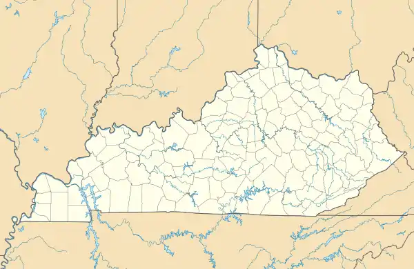 Combs Location within the state of Kentucky  Combs Combs (the United States) | |
| Coordinates: 37°16′1″N 83°12′46″W / 37.26694°N 83.21278°W | |
| Country | United States |
| State | Kentucky |
| County | Perry |
| Area | |
| • Total | 0.34 sq mi (0.87 km2) |
| • Land | 0.32 sq mi (0.83 km2) |
| • Water | 0.01 sq mi (0.04 km2) |
| Elevation | 935 ft (285 m) |
| Population (2020) | |
| • Total | 339 |
| • Density | 1,056.07/sq mi (407.16/km2) |
| Time zone | UTC-5 (Eastern (EST)) |
| • Summer (DST) | UTC-4 (EDT) |
| ZIP code | 41729[2] |
| Area code | 606 |
| FIPS code | 21-16822 |
| GNIS feature ID | 489894[3] |
Combs is an unincorporated community and census-designated place in Perry County, Kentucky, United States. It was named for Abijah Benjamin Combs. At one time, the town was called Lennut; its post office, no longer existent, used this name.[4]
The population of the CDP was 339 at the 2020 Census.[5]
Demographics
| Census | Pop. | Note | %± |
|---|---|---|---|
| 2020 | 339 | — | |
| U.S. Decennial Census[6] | |||
The population of the CDP was 339 and the racial makeup was 94.4% white, 0.9% Asian, 1.2% Other and 3.5 two or more races.
References
- ↑ "2020 U.S. Gazetteer Files". United States Census Bureau. Retrieved March 18, 2022.
- ↑ "Combs KY ZIP Code". zipdatamaps.com. 2023. Retrieved June 16, 2023.
- ↑ U.S. Geological Survey Geographic Names Information System: Combs, Kentucky
- ↑ U.S. Geological Survey Geographic Names Information System: Lennut Post Office (historical)
- ↑ https://data.tennessean.com/census/total-population/total-population-change/combs-cdp-kentucky/160-2116822/
- ↑ "Census of Population and Housing". Census.gov. Retrieved June 4, 2016.
Municipalities and communities of Perry County, Kentucky, United States | ||
|---|---|---|
| Cities | 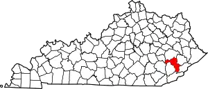 Location of Perry County, Kentucky | |
| CDPs | ||
| Other unincorporated communities |
| |
| Ghost town | ||
| Former mining towns | ||
| Post offices (and the creeks they are on) |
| |
This article is issued from Wikipedia. The text is licensed under Creative Commons - Attribution - Sharealike. Additional terms may apply for the media files.