| Commander-in-Chief National Historic Park Başkomutan Tarihi Milli Parkı | |
|---|---|
.jpg.webp) A view from the Dumlupunar battleground in the national historic park. | |
| Type | Military historic |
| Location | Afyonkarahisar, Kütahya, Uşak |
| Coordinates | 38°47′39.35″N 30°23′04.17″E / 38.7942639°N 30.3844917°E |
| Area | 40,948 ha (101,180 acres) |
| Elevation | avg. 1,000 m (3,300 ft) |
| Established | November 8, 1981 |
| Original use | Battleground |
| Visitors | National historic park |
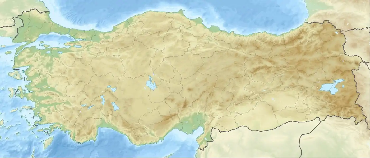 Location of the national historic park in Turkey | |
The Commander-in-Chief National Historic Park (Turkish: Başkomutan Tarihi Milli Parkı) is a historic site of national historic significance associated with the Turkish War of Independence (Turkish: İstiklâl Savaşı) comprising the battleground of the last battle (Turkish: Başkumandanlık Meydan Muharebesi, literally "Field Battle of the Commander-in-Chief") in the Greco-Turkish War (1919–22).[1][2][3]
References
- ↑ "Başkomutan Tarihi Milli Parkı" (in Turkish). Orman ve Su İşleri Bakanlığı V. Bölge Müdürlüğü. Archived from the original on 2014-09-24. Retrieved 2015-07-17.
- ↑ "Başkomutan Tarihi Milli Parkı" (in Turkish). Doğa Koruma ve Milli Parklar genel Müdürlüğü. Retrieved 2015-07-17.
- ↑ "Milli Parklar-Başkomutanlık Tarihi Milli Parkı:" (in Turkish). Afyonkarahisar İl Kültür ve Turizm Müdürlüğü. Retrieved 2015-07-17.
External links
Wikimedia Commons has media related to Commander-in-Chief National Historic Park.
This article is issued from Wikipedia. The text is licensed under Creative Commons - Attribution - Sharealike. Additional terms may apply for the media files.