| Cores End | |
|---|---|
.jpg.webp) | |
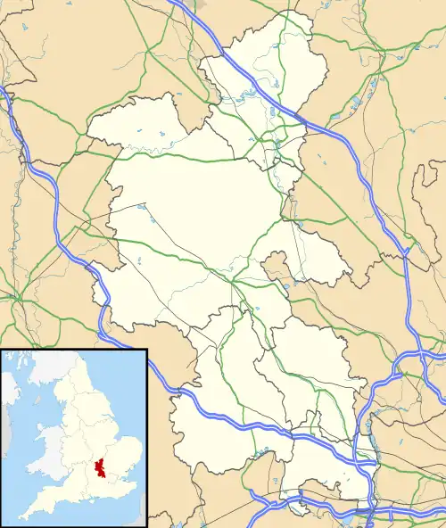 Cores End Location within Buckinghamshire | |
| Population | 160 |
| OS grid reference | SU903873 |
| Civil parish | |
| Unitary authority | |
| Ceremonial county | |
| Region | |
| Country | England |
| Sovereign state | United Kingdom |
| Post town | BOURNE END |
| Postcode district | SL8 |
| Dialling code | 01628 |
| Police | Thames Valley |
| Fire | Buckinghamshire |
| Ambulance | South Central |
| UK Parliament | |
Cores End is a hamlet in the civil parish of Wooburn (where at the 2011 Census the population was included), in Buckinghamshire, England.[1][2]
References
- ↑ Ordnance Survey: Landranger map sheet 175 Reading & Windsor (Henley-on-Thames & Bracknell) (Map). Ordnance Survey. 2012. ISBN 9780319232149.
- ↑ "Ordnance Survey: 1:50,000 Scale Gazetteer" (csv (download)). www.ordnancesurvey.co.uk. Ordnance Survey. 1 January 2016. Retrieved 18 February 2016.
| Towns (component areas and hamlets) | 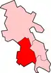 | |
|---|---|---|
| Other civil parishes (component villages and hamlets) |
| |
| Former districts and boroughs | ||
| Former constituencies | ||
This article is issued from Wikipedia. The text is licensed under Creative Commons - Attribution - Sharealike. Additional terms may apply for the media files.